Jamaica Center
| zone, neighbourhood
USA /
New York /
Bellerose Terrace /
World
/ USA
/ New York
/ Bellerose Terrace
World / United States / New York
zone, neighbourhood, draw only border
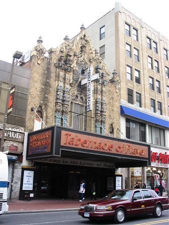
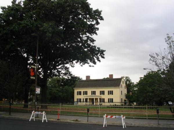
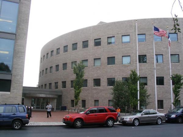
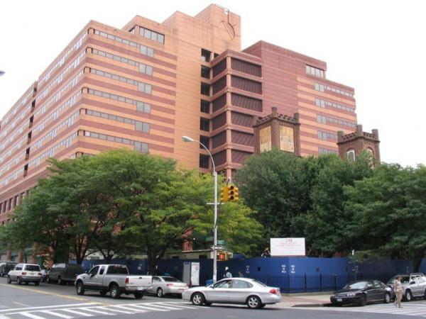
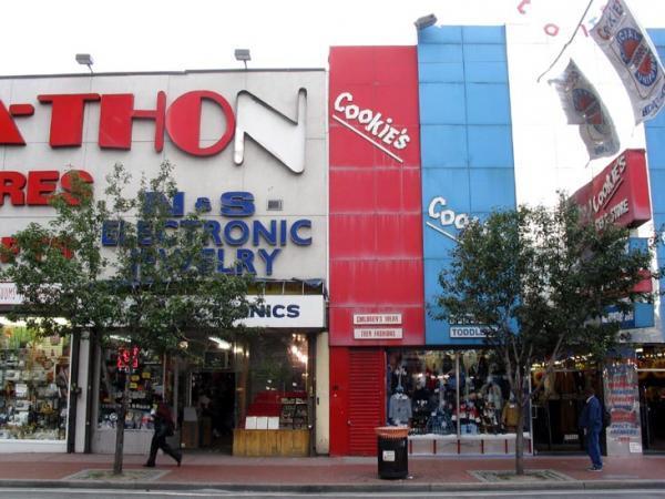
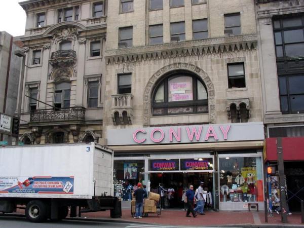
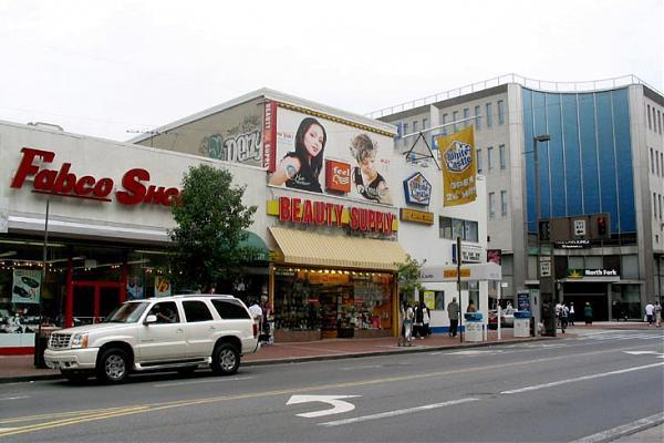
The downtown area of Jamaica, aka Jamaica Center, in New York City's Borough of Queens contains the Jamaica Avenue shopping strip which is the retail shopping hub for the entire central Queens conurbation. However, it is also home to the Queens County and Queens Civil and Queens Family Courts centers, the Joseph P. Addabbo federal building, the NYPD Criminal Foresics Labratory, the Mary Immaculate Hospital Center, York college, the Rufus King Manor Museum and Park historical site, and the largest and busiest train and bus hubs in Queens.
It is served by the NYPD's 103rd Precinct whose house is at 168-02 PO Edward Byrne Ave.,and by FDNY's Engine Co. 298/Ladder Co. 127 and Battalion 50 HQs in the House at 15-311 Hillside Avenue known as the "The Hillside Hurricanes"
On September 10, 2007 New York City Council adopted a proposal by the Department of City Planning (DCP) to establish a Special Downtown Jamaica District and rezone 368 blocks in community boards 12 and 8. DCP, the Department of Housing Preservation and Development (HPD) and the Economic Development Corporation (EDC), working with a wide range of stakeholders, including Community Boards 8 and 12, neighborhood residents and local elected officials, developed a comprehensive planning and rezoning strategy to replace outdated zoning that did not adequately address Jamaica’s current and future housing and economic needs. The attached polygon reflects the area now covered by that approved re-zoning plan for Jamaica Center.
www.nyc.gov/html/dcp/html/jamaica/index.shtml
www.nyc.gov/html/dcp/pdf/jamaica/jamaica_presentation.p...
Wikipedia article: http://en.wikipedia.org/wiki/Jamaica,_Queens
Nearby cities:
Coordinates: 40°42'15"N 73°47'32"W
- South Jamaica 1.6 km
- Queens Village 4.7 km
- Central Queens 6.4 km
- Queensboro Hill 6.5 km
- Broad Channel Island 8.1 km
- Flushing 8.3 km
- Little Neck 9 km
- Douglaston 9 km
- Bayside 10 km
- Throggs Neck 16 km
- Briarwood 2 km
- Central Queens 2.2 km
- Greater Jamaica Area 2.5 km
- Maple Grove Cemetery 2.6 km
- Southeast Queens 3 km
- Baisley Pond Park 3.2 km
- Rochdale 3.7 km
- Southwest Queens 4.5 km
- Western Queens 9 km
- Queens 9 km
Comments