Birket Israel (Jerusalem)
| historic landmark
Israel /
Jerusalem /
Jerusalem
World
/ Israel
/ Jerusalem
/ Jerusalem
World / Palestinian territories / West Bank
historic landmark
Add category
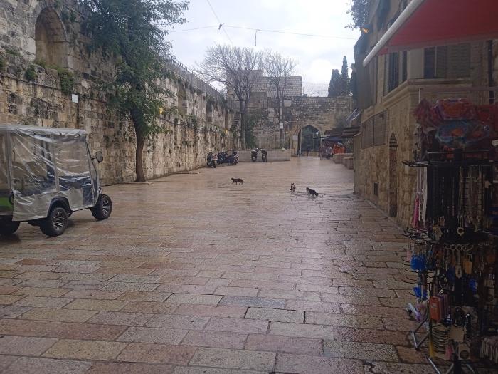
Labeled as "The Pool of Bethesda" in the 1842-49
Wikipedia article: http://en.wikipedia.org/wiki/Birket_Israel
Nearby cities:
Coordinates: 31°46'49"N 35°14'10"E
- Qassioun mountain 218 km
- Saqqara after the invasion of Abu Sir 438 km
- Pyramids and Tombs of Abousir 441 km
- Rock of Fate 577 km
- The Tunnel of Eupalinos 1006 km
- Clayton Cairn 1112 km
- Old town of Chania 1119 km
- Truck 1283 km
- WW II Truck 1284 km
- Pagasès District 1396 km
- Kidron Valley 0.2 km
- Mount Moriah 0.3 km
- The Old City of Jerusalem 0.5 km
- Mount of Olives Jewish Cemetery 0.8 km
- Mount Zion 1 km
- Mount of Olives 1 km
- East Jerusalem 2.1 km
- Gush Etzion 14 km
- Judea and Samaria ("West Bank") 19 km
- Judea 24 km