Chapaievka
Ukraine /
Kyyivska /
Chornobyl /
World
/ Ukraine
/ Kyyivska
/ Chornobyl
, 16 km from center (Чорнобиль)
World / Ukraine / Kiev
ghost town
Add category


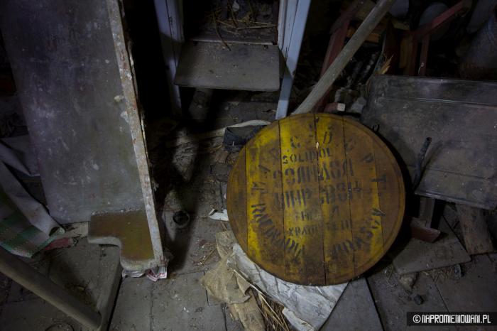

Chapaievka (known as Khoromne until 1928 and Zatonske from 1928 to 1937) was a former village in Ukraine, located 15 km from the Chornobyl Nuclear Power Plant and 26 km from the former district center, the city of Chornobyl, in the Ivankiv district of Kyiv Oblast, near the border with Belarus. It was situated on the Nesvich River.
Before 1986, it was part of the Chornobyl district and served as the center of a village council.
The exact date of the village’s founding is unknown.
The 1971 reference book *History of Cities and Villages of the Ukrainian SSR* provides the following information about the village:
*"Chapaievka is a village and the center of a village council, located 26 km from the district center and 7 km from the Posudovo railway station. The population is 644 people. The village council also governs the settlements of Horodchan and Kotsiubynske. The collective farm ‘Chervone Polissya’ has 1,800 hectares of agricultural land, including 1,000 hectares of arable land. The village has an eight-year school, a club, and a library."*
Before the Chornobyl disaster, the village had 331 residents and 195 households.
After the April 26, 1986, disaster, the village was evacuated due to severe radioactive contamination, and its residents were relocated to the villages of Liudvynivka and Fasova in the Makariv district. It was officially removed from records in 1999.
Nearby cities:
Coordinates: 51°25'14"N 30°19'8"E
- Chornobyl 17 km
- Tovstyi Lis 38 km
- Denysovychi 44 km
- Oshytky 49 km
- Martynovychi 54 km
- Novyi Myr 54 km
- Chernyn 59 km
- Buda-Varovychi 60 km
- Vilcha 66 km
- Poliske 69 km
- Pasudava 3.4 km
- (Chykalavichy) 3.9 km
- Horodchan 4.5 km
- Kotsiubynske 6.2 km
- (Vel'mau) 6.3 km
- Kalyban' 7.1 km
- Zalesie 7.9 km
- Zhalibor 9 km
- Chornobyl Exclusion Zone 31 km
- Polesskiy Radiation and Ecological Reserve 34 km
Comments