Harrington
| town
United Kingdom /
England /
Workington /
World
/ United Kingdom
/ England
/ Workington
World / United Kingdom / England
town
Add category
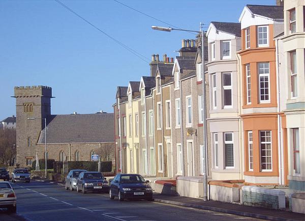
Harrington is on the Cumbrian coast south of Workington and north of Whitehaven. Historically part of Cumberland, its industrial history, which largely ended in the late 1930s, included an iron works, coal mining and steel making. It once had five railway stations. It still has one railway station, on the Cumbrian Coast Line, near the harbour.
Today, with a population of about 3,000, measured at 3,167 in the 2011 Census, it is largely a dormitory town for the employees of the shops and offices and light industry found in Workington and Whitehaven, and also British Nuclear Fuels down the coast at Sellafield.
The parish consists of Harrington itself, High Harrington and Salterbeck, which is a large housing estate on the Workington side of the parish.
Wikipedia article: https://en.wikipedia.org/wiki/Harrington,_Cumbria
Nearby cities:
Coordinates: 54°36'54"N 3°32'48"W
- Whitehaven 6.6 km
- Carlisle 51 km
- Dumfries 53 km
- Douglas / Doolish 80 km
- Ayr 120 km
- Troon 130 km
- Kilmarnock 130 km
- Hamilton 136 km
- Irvine 136 km
- East Kilbride 138 km
- Lillyhall Industrial Estate 1.8 km
- Robin Rigg Wind Farm 19 km
- Solway Firth 33 km
- Loch Kindar 39 km
- Caerlaverock Castle 40 km
- Kirkcudbright Bay 40 km
- Brighouse Bay 42 km
- Wigtown Bay 50 km
- Woodhall Loch 53 km
- Dumfries & Galloway Council 57 km