Fortified city of Zaltbommel (Zaltbommel)
Netherlands /
Gelderland /
Zaltbommel
World
/ Netherlands
/ Gelderland
/ Zaltbommel
World / Netherlands / Gelderland
place with historical importance, fortification, historic city center
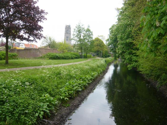
The city wall of Zaltbommel lost its function in the sixteenth century, and is today little more than a ruin, although there is ongoing work being done to slow down the deterioration of it's walls.
Wikipedia article: http://en.wikipedia.org/wiki/Zaltbommel
Nearby cities:
Coordinates: 51°48'43"N 5°14'59"E
- Fort Crevecoeur 8.4 km
- Heusden 12 km
- KZ Herzogenbusch 16 km
- Woudrichem Fortifications 17 km
- Gorinchem Fortifications 20 km
- Drop Zone A2, 501st PIR, 101st ABN DIV 17 September 1944 21 km
- Abdij van Berne 23 km
- Amerongen 26 km
- Doorn 27 km
- Ouwehands Dierenpark 28 km
- Maasdriel (municipality) 4.2 km
- Hedel (old municipality) 6.5 km
- West Betuwe (municipality) 7.1 km
- Zaltbommel (municipality) 7.6 km
- 's-Hertogenbosch (municipality) 13 km
- Aalburg 14 km
- Heusden (municipality) 15 km
- North Brabant 33 km
- South Holland 55 km
- Gelderland 58 km