Agasthiyamala
India /
Tamil Nadu /
Vikramasingapuram /
World
/ India
/ Tamil Nadu
/ Vikramasingapuram
World / India / Tamil Nadu / Tirunelveli Kattabo
mountain, forest, nature conservation park / area
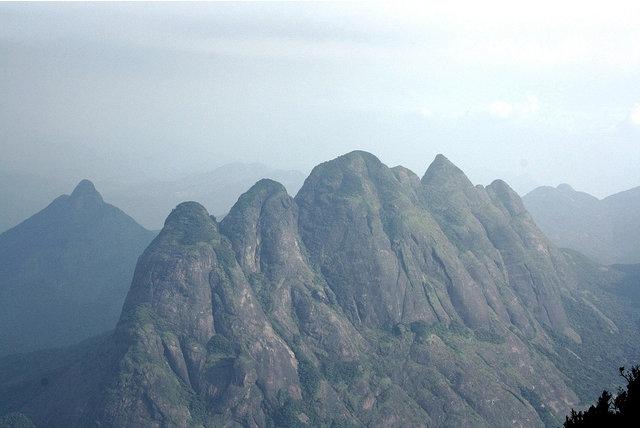
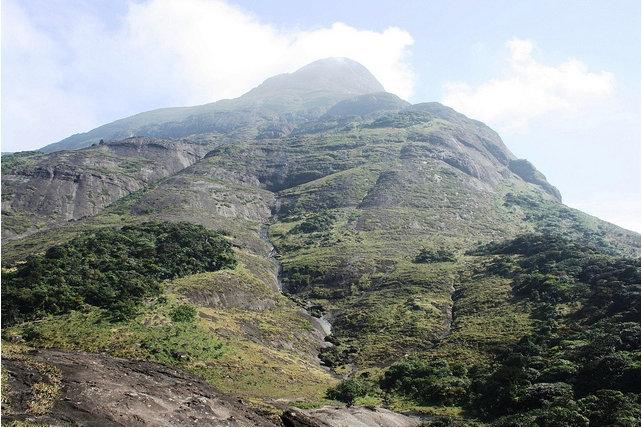
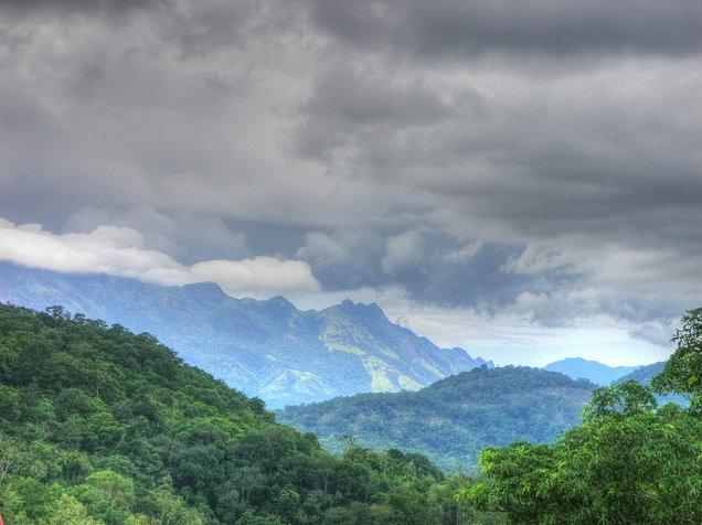
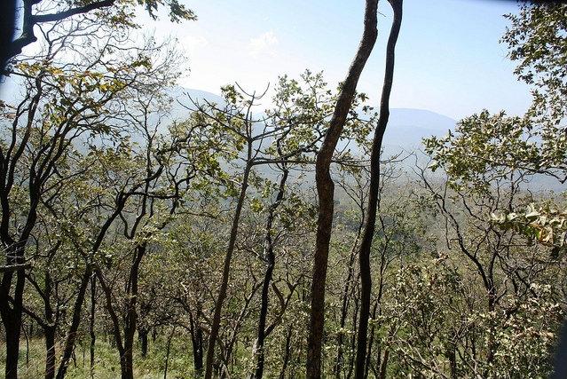
Agastya Mala (also known as Agastyarkoodam or Agasthyakoodam) is a 1,868 metres (6,129 ft) peak within Neyyar Wildlife Sanctuary, Kerala in the Western Ghats of South India. The mountain lies on the border between the Indian states of Kerala (in Kollam and Thiruvananthapuram District) and Tamil Nadu (in Tirunelveli). The perennial Thamirabarani River originates from the eastern side of this hill and flows into the Tirunelveli District of Tamil Nadu.
Agastya Mala is a pilgrimage centre for devotees of the Hindu sage Agastya, who is considered to be one of the seven rishis (Saptarishi) of Hindu Puranas.The shrine was installed under the auspices of the Chenkottukonam Madathipathi Jagadguru Swami Sathyananda Saraswathi Thiruvadikal who entered the forests with Hindu Aikya Vedi activists and his followers especially from the Kani Tribe demolished the cross erected by Christians.[1] The Tamil language is considered to be a boon from Agasthya. There is a full-sized statue of Agastya at the top of the peak and the devotees can offer pujas themselves.
Agastya Mala is a pilgrimage centre for devotees of the Hindu sage Agastya, who is considered to be one of the seven rishis (Saptarishi) of Hindu Puranas.The shrine was installed under the auspices of the Chenkottukonam Madathipathi Jagadguru Swami Sathyananda Saraswathi Thiruvadikal who entered the forests with Hindu Aikya Vedi activists and his followers especially from the Kani Tribe demolished the cross erected by Christians.[1] The Tamil language is considered to be a boon from Agasthya. There is a full-sized statue of Agastya at the top of the peak and the devotees can offer pujas themselves.
Wikipedia article: http://en.wikipedia.org/wiki/Agasthyarkoodam
Nearby cities:
Coordinates: 8°37'41"N 77°17'38"E
- Ainthalai Pothigai (1862m), Tamil Nadu 4.4 km
- Karu'Malai - கருமலை - 1152 meters (3780 Feet) 10 km
- Vaana'Muttai Malai - வானமுட்டி மலை - 1646 meters ( 5,400 feet ) 13 km
- Chinnappullu 20 km
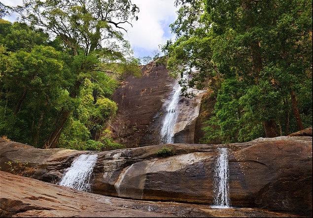
- Mankkayam Falls 30 km
- Courtallam 35 km
- Manam Mutti Medu 102 km
- injikkadu estate 108 km
- Kunthalampara Hill 125 km
- Anthyalam Hill 144 km
- Papanasam Kaaraiyaar Reservoir 2.3 km
- KANTHAM PARAI CARDAMOM ESTATE 7 km
- Servalaru Dam 7.4 km
- Kalakad Mundanthurai Tiger Reserve 8.8 km
- Kalivel Pul Mottai 10 km
- Karu'Malai - 1152 meters (3780 Feet) 10 km
- Valayar Cardamom Estate - வளையார் ஏலக்காய் தோட்டம். 14 km
- Bonacaud (Bon Accord) Estate 15 km
- Shenduruny wildlife sanctuary 26 km
- Thiruvananthapuram District 38 km
Papanasam Kaaraiyaar Reservoir
KANTHAM PARAI CARDAMOM ESTATE
Servalaru Dam
Kalakad Mundanthurai Tiger Reserve
Kalivel Pul Mottai
Karu'Malai - 1152 meters (3780 Feet)
Valayar Cardamom Estate - வளையார் ஏலக்காய் தோட்டம்.
Bonacaud (Bon Accord) Estate
Shenduruny wildlife sanctuary
Thiruvananthapuram District
Comments