Bath Beach
USA /
New York /
World
/ USA
/ New York
/ New York
World / United States / New Jersey
neighbourhood, draw only border
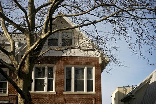
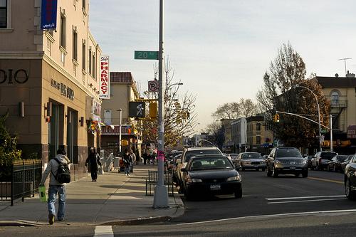


Bath Beach is a neighborhood in the southwestern part of the New York City borough of Brooklyn.
While technically a grid, the streets of the neighborhood have a unique nomenclature. Four two-way thoroughfares traverse the entire neighborhood, running parallel to Shore Parkway: these are Cropsey Avenue, Bath Avenue, Benson Avenue, and 86th Street, with another, Harway Avenue, running from Stillwell only as far as Twenty-Fourth Avenue. The one-way cross-streets are numbered, with the word "Bay" attached (to distinguish them, for postal reasons, from other numbering systems elsewhere in the borough), from Bay 7th Street in the northwest through Bay 50th Street in the southeast.
Confusingly for first-time visitors, every third "Bay" numbered street is replaced with a two-way numbered avenue, from Fourteenth Avenue in the northwest to Twenty-Eighth Avenue in the southeast (except for what would be Twenty-Second Avenue, which is called Bay Parkway). These avenues (as well as 86th Street) are part of a larger grid that encompasses other neighborhoods to the north and west.
Wikipedia article: http://en.wikipedia.org/wiki/Bath_Beach,_Brooklyn
Nearby cities:
Coordinates: 40°35'47"N 74°0'3"W
- Bensonhurst 4.6 km
- Canarsie 10 km
- Stuyvesant Heights 12 km
- Bushwick 13 km
- East New York 14 km
- Williamsburg 15 km
- Greenpoint 16 km
- Sunnyside 18 km
- Astoria 22 km
- Harlem (Manhattan, NY) 27 km
- Gravesend Bay 0.8 km
- Dreier-Offerman Park (Calvert Vaux Park) 1.3 km
- Center of historic "New Utrecht" 1.5 km
- Marlboro Projects 1.7 km
- Coney Island Creek 2 km
- NYC Transit Coney Island Yard 2.1 km
- Coney Island (Peninsula) 3.2 km
- Lower New York Bay 6.9 km
- Brooklyn 7.1 km
- Queens 12 km