Astoria-Megler Bridge
USA /
Oregon /
Astoria /
World
/ USA
/ Oregon
/ Astoria
World / United States / Oregon
road bridge, 1966_construction

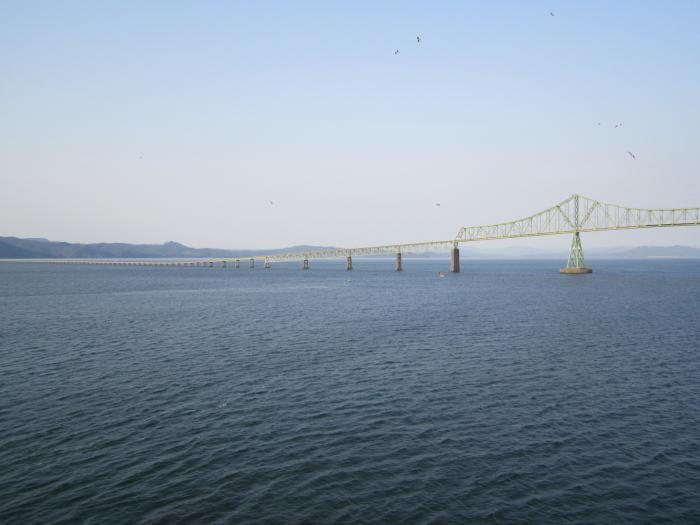

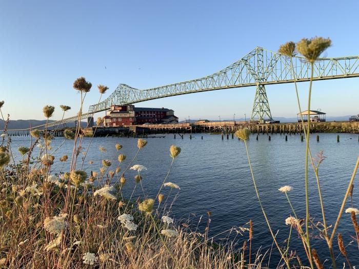


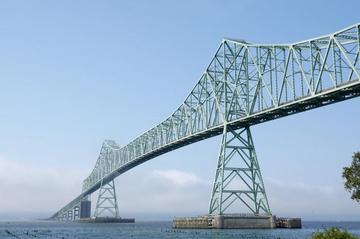
US Route 101 over the Columbia River, connecting Oregon to Washington
Wikipedia article: http://en.wikipedia.org/wiki/Astoria_bridge
Nearby cities:
Coordinates: 46°12'54"N 123°51'43"W
- Road bridge 77 km
- Railway bridge 83 km
- Devils Lake Bridge 139 km
- Cooks Chasm Bridge 217 km
- Big Creek Bridge 228 km
- Haynes Inlet Bridge 310 km
- Conde B. McCullough Memorial Bridge 311 km
- Lobster Creek Bridge 415 km
- Martins Ferry Bridge 557 km
- French Camp Road Bridge 564 km
- Desdemona Sands 2.5 km
- Columbia Delta 2.7 km
- Youngs Bay 4.7 km
- Fort Stevens State Park 10 km
- Camp Rilea Armed Forces Training Facility 12 km
- Columbia River Bar 15 km
- Naselle, Washington 17 km
- Willapa National Wildlife Refuge 28 km
- Long Island 28 km
- Ocean Park, Washington 34 km
Comments