Bolinao
Philippines /
Ilocos /
Luna /
World
/ Philippines
/ Ilocos
/ Luna
World / Philippines / Pangasinan / Bolinao
town, municipality, draw only border, third-level administrative division


Municipality of Bolinao, Province of Pangasinan
Land Area: 197.22 km²
ZIP Code: 2406
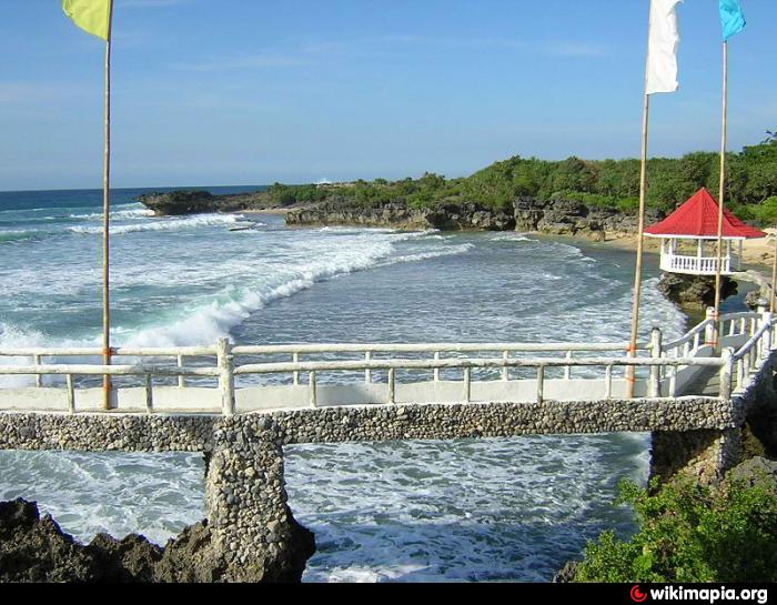
Bolinao is a coastal municipality in the province of Pangasinan in the Philippines. As of the 2010 census, it had a population of 74,545 people. The town is situated at the northwestern tip of the province, and also includes Santiago Island under its jurisdiction.
Bolinao is politically subdivided into 30 barangays:
-Arnedo
-Balingasay
-Binabalian
-Cabuyao
-Catuday
-Catungi
-Concordia (Poblacion)
-Culang
-Dewey
-Estanza
-Germinal (Poblacion)
-Goyoden
-Ilog-Malino
-Lambes
-Liwa-liwa (Aliw-Aliw)
-Lucero
-Luciente 1
-Luciente 2
-Luna
-Patar
-Pilar
-Salud
-Samang Norte
-Samang Sur
-Sampaloc
-San Roque
-Tara
-Tupa
-Victory
-Zaragoza
Pangasinan Webpage: www.pangasinan.org/bolinao/
Land Area: 197.22 km²
ZIP Code: 2406
Bolinao is a coastal municipality in the province of Pangasinan in the Philippines. As of the 2010 census, it had a population of 74,545 people. The town is situated at the northwestern tip of the province, and also includes Santiago Island under its jurisdiction.
Bolinao is politically subdivided into 30 barangays:
-Arnedo
-Balingasay
-Binabalian
-Cabuyao
-Catuday
-Catungi
-Concordia (Poblacion)
-Culang
-Dewey
-Estanza
-Germinal (Poblacion)
-Goyoden
-Ilog-Malino
-Lambes
-Liwa-liwa (Aliw-Aliw)
-Lucero
-Luciente 1
-Luciente 2
-Luna
-Patar
-Pilar
-Salud
-Samang Norte
-Samang Sur
-Sampaloc
-San Roque
-Tara
-Tupa
-Victory
-Zaragoza
Pangasinan Webpage: www.pangasinan.org/bolinao/
Wikipedia article: http://en.wikipedia.org/wiki/Bolinao,_Pangasinan
Nearby cities:
Coordinates: 16°20'14"N 119°52'19"E
- Mabini 23 km
- Santa Cruz 52 km
- Mangatarem 62 km
- Candelaria 70 km
- Bokod 91 km
- San Jose 94 km
- Kayapa 100 km
- Capas 109 km
- Botolan 110 km
- Subic 151 km
- Roberto Quebada's Bangus Fishpond 2.4 km
- Balingasay Bay 4.1 km
- Rock Garden Resort 4.9 km
- COCOS BEACH RESORT 4.9 km
- Bolinao Shallow Reef 5.5 km
- Ilog-Malino River 6.2 km
- Bolinao School of Fisheries 6.2 km
- Cool Spot Beach Resort 10 km
- Epicenter of m4.6 quake 30 km
- Pangasinan 60 km
Comments