Vicente Guerrero (Los Algodones), Baja California
Mexico /
Baja California /
Vicente Guerrero /
World
/ Mexico
/ Baja California
/ Vicente Guerrero
World / Mexico / Baja California
city
Add category

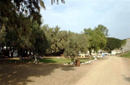

Vicente Guerrero, is 175 miles south of the U.S. border crossing at San Ysidro/Tijuana, in the center of the San Quintin (pronounced kin-teen) Valley.
Los Algodones' official name is Vicente Guerrero, although most people use Algodones when referring to it. It reported a population of 4,021 as of the 2005 Mexican census
Ocean breezes help provide a temperate climate in Vicente Guerrero, which lies three miles inland from the Pacific Ocean.
Los Algodones' official name is Vicente Guerrero, although most people use Algodones when referring to it. It reported a population of 4,021 as of the 2005 Mexican census
Ocean breezes help provide a temperate climate in Vicente Guerrero, which lies three miles inland from the Pacific Ocean.
Wikipedia article: http://en.wikipedia.org/wiki/Vicente_Guerrero,_Baja_California
Nearby cities:
Coordinates: 30°43'17"N 115°59'17"W
- San Quintín 14 km
- Camalú 19 km
- Diamante del Mar 72 km
- Maneadero 128 km
- Punta Banda 129 km
- Ensenada 153 km
- Puerto Peñasco 239 km
- Sonoyta, Sonora 323 km
- Guerrero Negro 357 km
- Vizcaíno (Villa Alberto Andrés Alvarado Arámburo) 424 km
- San Quintín Valley 16 km
- San Quintin Volcanic Field 25 km
- Isla San Martin 28 km
- Pedregal 29 km
- San Quintin Bay 31 km
- Bahia Falsa (False Bay) 32 km
- Sierra de San Pedro Mártir National Park 66 km
- Rosario de Abajo 80 km
- El Sauzalito 92 km
- Isla San Jerónimo 105 km
Comments