Sual
Philippines /
Ilocos /
Baybay /
World
/ Philippines
/ Ilocos
/ Baybay
World / Philippines / Pangasinan / Sual
town, municipality, third-level administrative division

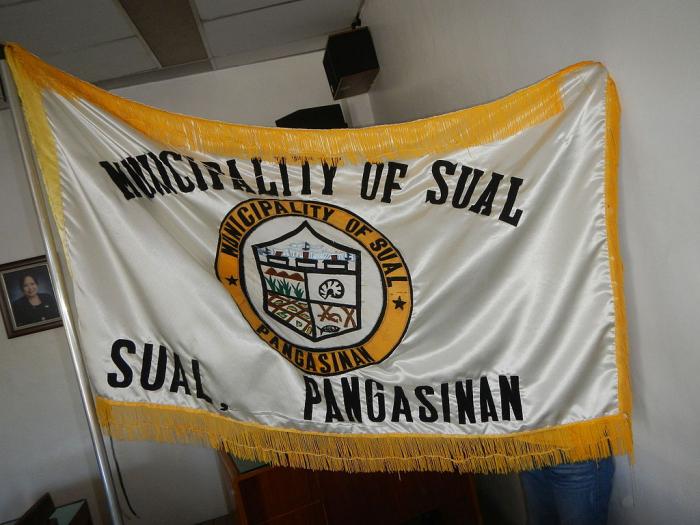
Municipality of Sual, Province of Pangasinan
Land Area: 130.16 km²
ZIP Code: 2403
Sual is a coastal municipality in the province of Pangasinan in the Philippines. As of the 2010 Census, it had a population of 31,216 people. The Philippines largest coal power plant, the 1200 megawatt Sual Coal-Fired Power Plant is located in the town. It is formerly owned by Mirant Services LLC.
The municipality is one of the towns where the Spanish galleon brought their goods to trade.
Sual is politically subdivided into 19 barangays:
-Baquioen
-Baybay Norte
-Baybay Sur
-Bolaoen
-Cabalitian
-Calumbuyan
-Camagsingalan
-Caoayan
-Capantolan
-Macaycayawan
-Paitan East
-Paitan West
-Pangascasan
-Poblacion
-Santo Domingo
-Seselangen
-Sioasio East
-Sioasio West
-Victoria
Pangasinan Webpage: www.pangasinan.org/town/sual/
Wikipedia article: http://en.wikipedia.org/wiki/Sual,_Pangasinan
Nearby cities:
Coordinates: 16°5'22"N 120°3'33"E
- Mabini 22 km
- Mangatarem 28 km
- Santa Cruz 31 km
- Candelaria 45 km
- San Jose 62 km
- Capas 77 km
- Botolan 82 km
- Bokod 87 km
- Kayapa 95 km
- Subic 121 km
- Cabatuan 6.2 km
- Sitio Cabittaugan 11 km
- Mount Ariba 14 km
- Luna 14 km
- Barangay Luna Proper 14 km
- Barlo Open-pit Mine 16 km
- Mining Area 16 km
- Cabanaetan 18 km
- Lingayen Gulf 28 km
- Pangasinan 30 km
Comments