Former Dairy Queen (Municipality of Leamington, Ontario)
Canada /
Ontario /
Leamington /
Municipality of Leamington, Ontario /
Erie Street South, 267
World
/ Canada
/ Ontario
/ Leamington
World / Canada / Ontario / Essex
historical layer / disappeared object
Add category

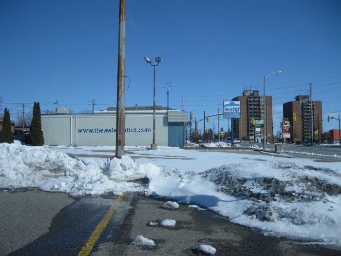
This Dairy Queen was demolished in 2010. Now parking.
Nearby cities:
Coordinates: 42°2'18"N 82°36'4"W
- Geographic Township of Gosfield South (former) 20 km
- Geographic Township of Tilbury North (former) 31 km
- Former CN Walkerville Subdivision 33 km
- Former CN CASO Subdivision 39 km
- Geographic Township of Maidstone (former) 39 km
- Former CN Walkerville Subdivision 74 km
- Geographic Township of Sombra (former) 81 km
- Former CN rail alignment 88 km
- Geographic Township of Moore (Former) 99 km
- Former CN Rail alignment 114 km
- Kinsmen Sports Field 0.5 km
- Highbury Canco 0.7 km
- Leamington Pollution Control Centre 1.2 km
- Caldwell First Nation (Zaaga'iganiniwag) 2.2 km
- Leamington Fairgrounds 2.5 km
- Newcastle Farms Ltd. 2.5 km
- Di Ciocco Farms Inc. 2.7 km
- Lakeside Produce Inc. 2.8 km
- Amco Produce Inc. / Amco Farms Inc. 2.9 km
- Great Lakes Greenhouses Inc. 3.7 km