State Park of Itapiracó (São Luís)
Brazil /
Maranhao /
Sao Luis /
São Luís
World
/ Brazil
/ Maranhao
/ Sao Luis
World / Brazil / Maranhão / São José de Ribamar
nature conservation park / area, green area
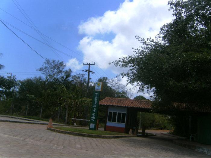
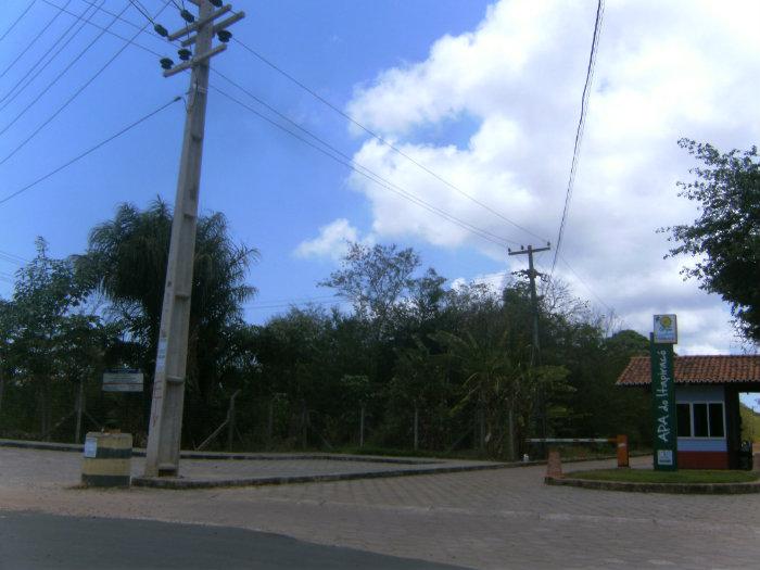
Created by State Decree 15.618/97 number in the city of São Luís with a total area of 322 hectares, the area of environmental preservation of the remaining vegetation cover Itapiracó Pre-Amazonian forest, represented by Angelim Andiroba Bacuri and many other . Besides representing shelter to native fauna and flora, the area represents an important role in maintaining the microclimate of the island of São Luís
Nearby cities:
Coordinates: 2°31'33"S 44°12'23"W
- Lençóis Maranhenses National Park 83 km
- Marine State Park of Parcel Manuel Luis 198 km
- Parque Nacional da Serra da Capivara - Piauí - Brasil 678 km
- Chapada Diamantina National Park 1143 km
- Cavernas do Peruaçu National Park 1379 km
- Descobrimento National Park 1693 km
- Parque Nacional Serra do Cipó 1859 km
- Itatiaia National Park 2196 km
- Parque Nacional da Restinga de Jurubatiba - Rio de Janeiro - Brasil 2200 km
- Serra da Bocaina National Park 2247 km
- Soccer Field 0.9 km
- Itapiracó 1 km
- Cohatrac IV 1 km
- IV Centenário Square 1.1 km
- North Square 1.2 km
- Passeio Mall 1.2 km
- Supermarket Maciel 1.2 km
- High School "Professor Barjonas Lobão" 1.4 km
- Cohatrac II 1.4 km
- Cohatrac III 1.4 km