Palakkad District (Mankara)
India /
Kerala /
Palakkad /
Mankara
World
/ India
/ Kerala
/ Palakkad
World / India / Kerala / Palakkad
district, invisible
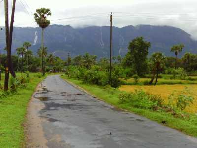
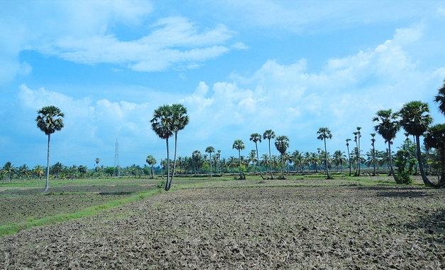
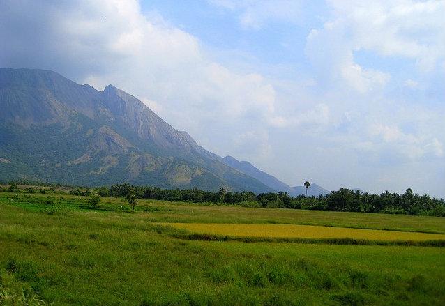
Palakkad District (Malayalam :പാലക്കാട് ) or Palghat is one of the 14 districts of Kerala state in South India. The city of Palakkad is the district headquarters. Palakkad is bordered on the northwest by the Malappuram District and on the southwest by the Thrissur District. To the east lies the Coimbatore District of Tamil Nadu. It is a predominantly rural district. Palakkad is the gateway to Kerala due to the presence of Palakkad Gap, in the Western Ghats. The total area of the district is 4480 km² which is 11.5% of the state's area. The district is nicknamed "the granary of Kerala".
In earlier times Palakkad was also known as Palakkattussery. Some etymologists trace the word "Palakkad" from the word Palanilam, which means "dry lands". The commonly held belief, however, is that the name is a fusion of two Malayalam words, Pala, a tree (Alstonia scholaris) that is found abundantly in Palakkad, and Kadu, which means forest.
It was not formed on the formation of Kerala at 1957; after the Xchange of Kanyakumari with Tamilnadu Kerala got Palakkad.
The district is 13.62% urbanised.
Wikipedia article: http://en.wikipedia.org/wiki/Palghat
Nearby cities:
Coordinates: 10°46'43"N 76°30'26"E
- Idukki District 48 km
- Thrissur (District) 60 km
- Malappuram (District) 112 km
- Thiruvananthapuram District 212 km
- Dharmapuri District 218 km
- Kasaragod (District) 285 km
- Cuddalore District 333 km
- Jaffna 355 km
- Gampaha District 529 km
- Colombo District 558 km
- Government Higher Secondary School Mankara 0.5 km
- Rajesh Chettoor Pazhaya Chettoor, Mankara. 0.5 km
- Mannurramanadashramam 2.3 km
- peringottukurissi town 2.3 km
- bemmanur desam 2.8 km
- GVHSS Pathirippala 3.5 km
- TA NAGAR PATHIRIPALA 3.8 km
- BAVA NAGAR PATHIRIPAL 3.9 km
- Chandramathi Ayakulangara Property 4 km
- yaseen nagar 4 km
Comments