European Quarter of Brussels (City of Brussels)
Belgium /
Brussel /
Brussels /
City of Brussels
World
/ Belgium
/ Brussel
/ Brussels
World / Belgium / Bruxelles / Bruxelles / Brussel
neighbourhood, invisible
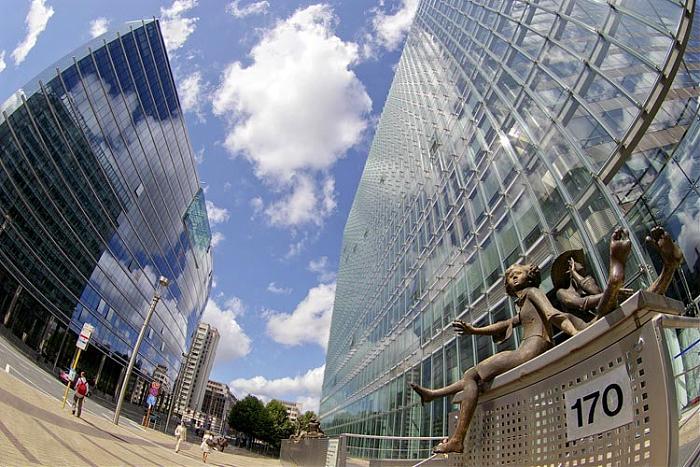
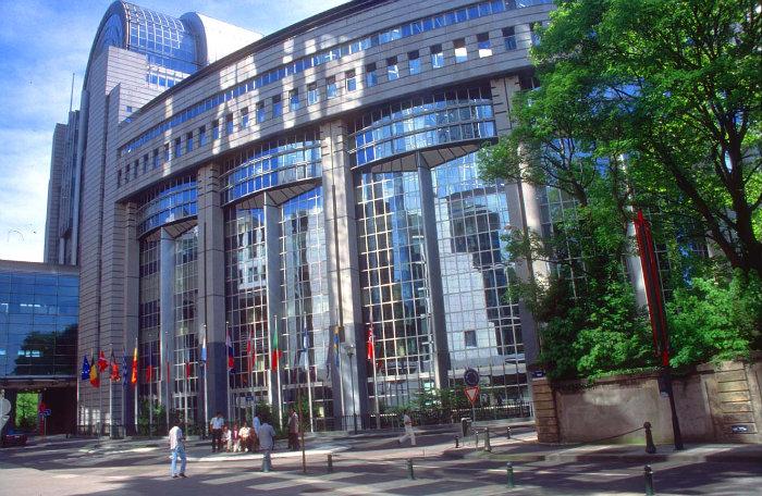
European Quarter of Brussels is the district of Brussels (Belgium) contains the seats of the major European Union institutions, the Commission, Council and one of the two Parliament seats. With most administrative and legislative activity within this small space, it is the heart of the Union and dubbed its capital, however it has become a governmental ghetto with little symbolism due to poor city planning during its initial development (in the 1960s - previously it was a wealthy residential district).
(border source: www.bruxelles.irisnet.be/cmsmedia/fr/cartes.pdf?uri=ff8...
(border source: www.bruxelles.irisnet.be/cmsmedia/fr/cartes.pdf?uri=ff8...
Wikipedia article: http://en.wikipedia.org/wiki/Brussels_and_the_European_Union
Nearby cities:
Coordinates: 50°50'34"N 4°23'1"E
- Brussels-Capital Region 13 km
- Hoogboom 55 km
- Ossendrecht (village borders) 64 km
- Woensdrecht (village borders) 68 km
- Huijbergen (village borders) 69 km
- Hoogerheide (town borders) 70 km
- Steenbergen (municipality) 92 km
- Nationaal Landschap Het Groene Woud 102 km
- Strabrechtse Heide - Nature reserve 105 km
- North Brabant 111 km
- European Commission Headquarters - Berlaymont building 0.1 km
- Schuman roundabout 0.1 km
- Justus Lipsius Building 0.2 km
- European Commission - Loi 130 (L130) 0.5 km
- Square Marie-Louise / Maria-Louizasquare 0.6 km
- Espace Léopold, European Parliament 0.8 km
- Esplanade of the European Parliament 0.9 km
- Etterbeek 1.3 km
- Saint-Josse-ten-Noode 1.5 km
- Schaerbeek / Schaarbeek 2.2 km
European Commission Headquarters - Berlaymont building
Schuman roundabout
Justus Lipsius Building
European Commission - Loi 130 (L130)
Square Marie-Louise / Maria-Louizasquare
Espace Léopold, European Parliament
Esplanade of the European Parliament
Etterbeek
Saint-Josse-ten-Noode
Schaerbeek / Schaarbeek