Florida's Turnpike


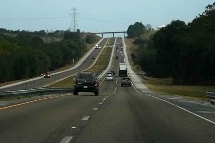
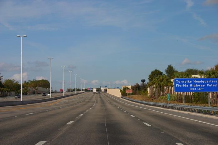

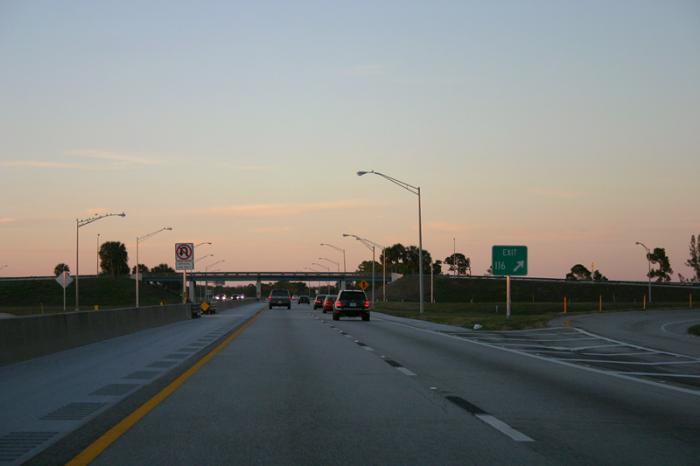
Also known as Florida's Main Street or more technically, Florida State Road 91. Florida's Turnpike was a toll road that connected South Florida with the Orlando area, before any interstate highways (such as Interstate 95) were completed. It was originally called the Sunshine State Parkway.
Florida's Turnpike, related objects
Wikipedia article: http://en.wikipedia.org/wiki/Florida's_Turnpike
Nearby cities:
Coordinates: 27°36'3"N 80°49'24"W
- FPL Okeechobee Clean Energy Center 4.6 km
- Fort Drum 8.6 km
- Fort Drum Marsh Conservation Area 9 km
- Pine Creek Sporting Club 16 km
- McArthur Dairy Farm 18 km
- Blue Cypress Conservation Area 20 km
- Indian River County, Florida 25 km
- Adams Ranch 30 km
- Okeechobee County, Florida 36 km
- Saint Lucie County, Florida 45 km
- NE 304 Street (County Road 15C) 10 km
- NE 48 Avenue 14 km
- U.S. Route 441 (Kenansville Road )(SR 15) 15 km
- Eagle Island Road (CR 724) 17 km
- Fellsmere Road (CR 512) 21 km
- County Road 68 24 km
- County Road 68A 25 km
- Florida State Road 68 (Orange Avenue) 31 km
- Florida State Road 70 75 km
- Interstate 95 (Florida) 95 km