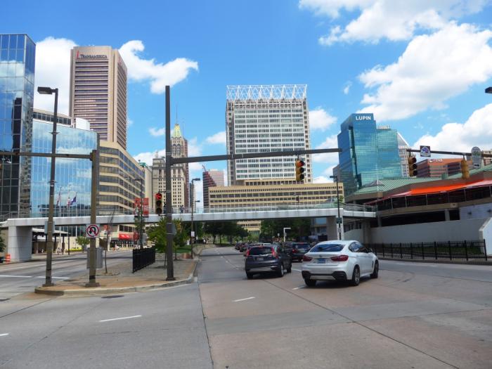
Light Street (Maryland Route 2) (Baltimore, Maryland)
Light Street (Maryland Route 2), related objects
Wikipedia article: http://en.wikipedia.org/wiki/Maryland_Route_2
Nearby cities:
Coordinates: 39°17'3"N 76°36'46"W
- Inner Harbor 0.7 km
- Baltimore City Center 0.7 km
- Inner Harbor District 0.8 km
- Downtown Baltimore 1.2 km
- Penn-Fallsway 1.4 km
- Mount Vernon (Baltimore) 1.5 km
- Fells Point 1.7 km
- Mid-Town Belvedere 2.2 km
- Johns Hopkins University - East Baltimore (Medical) Campus 2.3 km
- Baltimore County, Maryland 17 km
- Park Avenue 2.5 km
- Interstate 895 (Maryland) - Harbor Tunnel Thruway 5 km
- Broening Highway 7 km
- Interstate 95 (Maryland) 7.3 km
- Interstate 895B (Spur) 7.6 km
- Interstate 695 (Maryland) - Baltimore Beltway 14 km
- Interstate 95 (Maryland) 19 km
- Old Mill Road 19 km
- Interstate 97 22 km
- Najoles Road 22 km