Interstate 75 (Florida) Exit 80 - State Road 29
USA /
Florida /
Immokalee /
World
/ USA
/ Florida
/ Immokalee
World / United States / Florida
invisible, highway interchange / exit
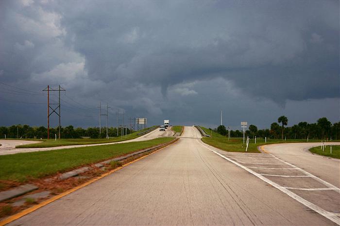
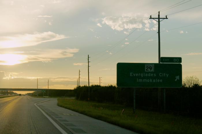
This used to be Exit 14A. A huge cloverleaf for a sparsely-used interchange.
Wikipedia article: http://en.wikipedia.org/wiki/Florida_State_Road_29
Nearby cities:
Coordinates: 26°9'16"N 81°20'42"W
- I-75, I-595, and SR-869 Interchange 98 km
- Interstate 75 Interchange 1A/B (State Route 826) / Unmarked Exit 0 (Gratigny) 105 km
- I-595 Exits 8B and 9 (US 441, SR 84) 114 km
- Golden Glades Interchange (I-95 Exit 12) 115 km
- Interstate 95 Interchange 87: State Road 706 147 km
- Interstate 75 Interchange 228 198 km
- Interstate 75 Exit 261 / Interstate 4 Exit 9 229 km
- Interstate 75 Interchange 274 248 km
- Florida's Turnpike - Exit 296 296 km
- Interstate 295 Exit 53 457 km
- Collier County, Florida 1.6 km
- Florida Panther National Wildlife Refuge 9 km
- Fakahatchee Strand Preserve State Park 18 km
- Camp Keais Strand 24 km
- Picayune Strand State Forest 25 km
- Golden Gate Estates 30 km
- Big Cypress National Preserve 33 km
- Corkscrew Swamp Audubon Sanctuary 38 km
- Hendry County, Florida 52 km
- Lee County, Florida 72 km