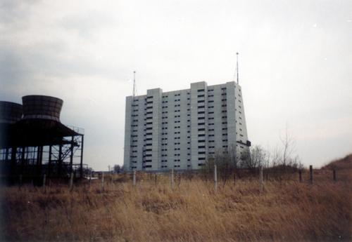
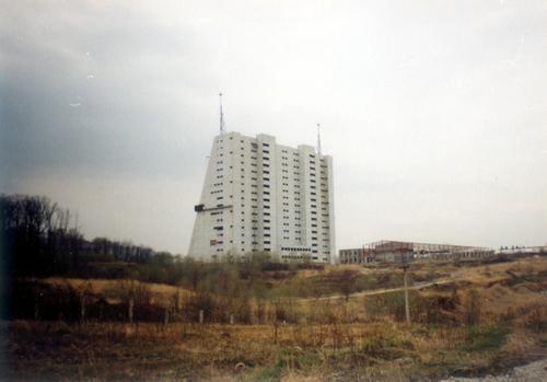
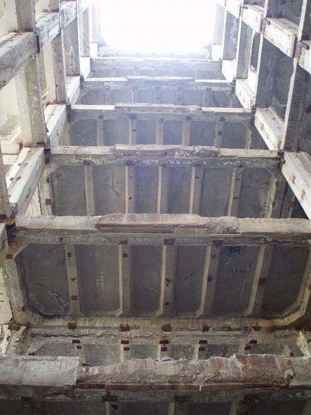
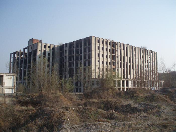
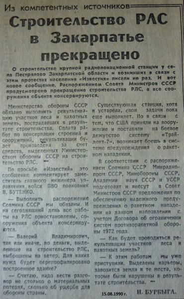
Former Daryal-UM radar station
| closed / former military
Ukraine /
Zakarpatska /
Kolchyno /
World
/ Ukraine
/ Zakarpatska
/ Kolchyno
, 9 km from center (Кольчино)
World / Ukraine / Transcarpathia
closed / former military
Add category
Wikipedia article: https://en.wikipedia.org/wiki/Daryal_radar
Nearby cities:
Coordinates: 48°23'14"N 22°47'50"E
- Satellite communications station of Dnepr early warning radar 3.9 km
- Mukacheve Soviet R-5M / SS-3 Nuclear Missile Base 15 km
- Transmitting Center for South-Western direction Command and Control Centre USSR Ministry of Defense 130 km
- Satellite Communications Center for South-Western direction Command and Control Centre USSR Ministry of Defense 131 km
- Former military base 146 km
- Бывший 40 ракетный полк РВСН (позывной "Делянка) и 1-й дивизион в/ч 81671 150 km
- Military territory 281 km
- Site of the old Military Riding School 306 km
- Former shooting range 308 km
- 1-й дивизион, 430 рп, 19-я рд РВСН СССР 313 km
- Radar Sending Antenna Daryal-UM (Pechora) 0.3 km
- Radar Receiving Antenna Daryal-UM (Pechora) 0.3 km
- Reservoir 2 km
- Mukacheve City Hromada 8.7 km
- Mukacheve Raion 13 km
- Berehove Raion 21 km
- Irshava Raion 27 km
Comments