M 06 (E50)
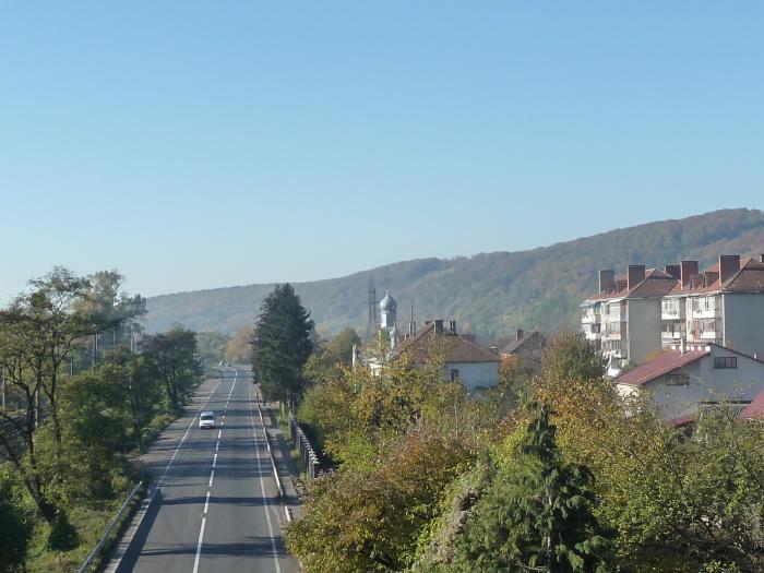

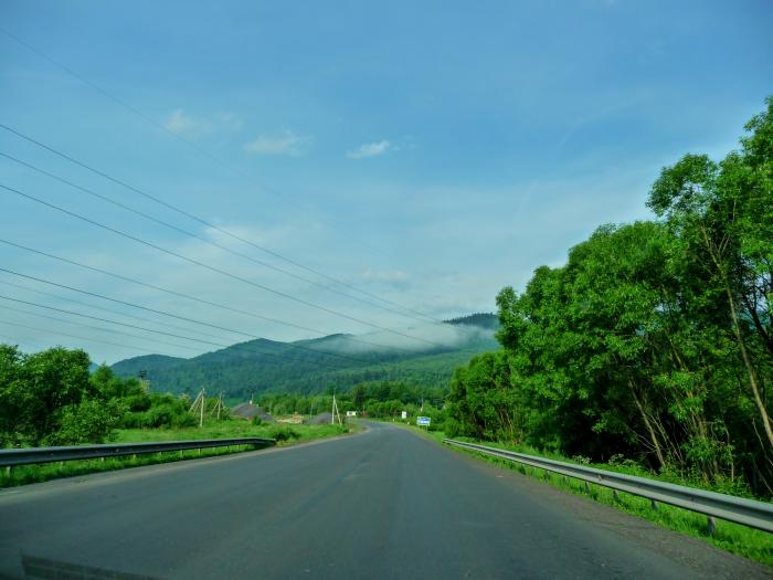
M06 is a state international highway (M-highway) in Ukraine connecting Kiev to the Hungarian border near Chop, where it connects to the Hungarian Highway M34.
M06 is a major transnational corridor and along with M03 combines into E40. The highway is also part of the 3rd and 5th Pan-European Transportation corridors as well as the "Europe-Asia" Transportation corridor. It is the second longest route spanning over half a thousand miles. For most of its length it is categorized as the category Ia highway in Ukraine (see Roads in Ukraine). M06 connects four major European routes E40, E50, E85, and E95.
M06 is a major transnational corridor and along with M03 combines into E40. The highway is also part of the 3rd and 5th Pan-European Transportation corridors as well as the "Europe-Asia" Transportation corridor. It is the second longest route spanning over half a thousand miles. For most of its length it is categorized as the category Ia highway in Ukraine (see Roads in Ukraine). M06 connects four major European routes E40, E50, E85, and E95.
M 06 (E50), related objects
Wikipedia article: http://en.wikipedia.org/wiki/Highway_M06_(Ukraine)
Nearby cities:
Coordinates: 48°52'46"N 23°7'28"E
- Road-view 3.4 km
- Gas Station 3.4 km
- St. Dmytro's Tserkva ( Church ) 4.1 km
- Gas Station 7.2 km
- Cemetery 7.8 km
- Road Bridge 7.9 km
- Veretsky pass 8 km
- Volovets Raion 13 km
- Turka Raion 23 km
- Skole Raion 23 km
- vulytsia Tarasa Shevchenka 16 km
- vulytsia Pidhirna 18 km
- vulytsia Zarichna 19 km
- vulytsia Pryvokzalna 19 km
- vulytsia Zaliznychna 19 km
- vulytsia Fabrychna 19 km
- vulytsia Suvorova 19 km
- vulytsia Karpatska 19 km
- vulytsia Heroiv Ukrainy 19 km
- vulytsia Lesi Ukrainky 20 km