Grote Baan / Grand'Route (Beersel)


Old connecting road between Uccle Calevoet / Ukkel Kalevoet and Ruisbroek, now the main street that crosses the center from the border with Linkebeek in the south to the Brussels-Charleroi motorway. Formerly called 'de Dreef' from the church to the Nieuwstraat and lined with elms along the Calmeyn domain.
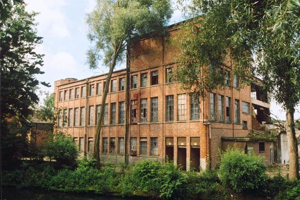
Grote Baan / Grand'Route, related objects
Nearby cities:
Coordinates: 50°47'16"N 4°18'57"E
- Drogenbos 1.2 km
- Linkebeek (municipality) 3 km
- Uccle 3.3 km
- Beersel 4.5 km
- Sint-Pieters-Leeuw (Municipality) 5.2 km
- Sint-Genesius-Rode (municipality) 6.3 km
- Brussels-Capital Region 6.5 km
- Forest 6.7 km
- Watermael-Boitsfort / Watermaal-Bosvoorde 8.1 km
- Sonian Forest 10 km
- Rue des Deux Gares / Tweestationsstraat 4.9 km
- Avenue Adolphe Buyl / Adolphe Buyllaan 5.7 km
- Rue de la Science/Wetenschapsstraat 7.2 km
- Rue du Bocq / Bocqstraat 7.3 km
- Place Édouard Pinoy / Édouard Pinoyplein 8 km
- Clos du Bergoje / Bergagegaarde 8.6 km
- Rue de Brabant / Brabantstraat 8.8 km
- Chaussée de Tervueren / Tervuursesteenweg 9 km
- Avenue Paul Deschanel / Paul Deschanellaan 9 km
- Place Peter Benoit / Peter Benoitplein 13 km