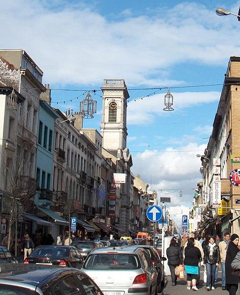
Rue de Brabant / Brabantstraat

The Province of Brabant (/brəˈbænt/, US also /brəˈbɑːnt, ˈbrɑːbənt/, Dutch: [ˈbraːbɑnt]) was a province in Belgium from 1830 to 1995. It was created in 1815 as South Brabant, part of the United Kingdom of the Netherlands. In 1995, it was split into the Dutch-speaking Flemish Brabant, the French-speaking Walloon Brabant and the bilingual Brussels-Capital Region.
Rue de Brabant / Brabantstraat, related objects
Wikipedia article: https://en.wikipedia.org/wiki/Province_of_Brabant
Nearby cities:
Coordinates: 50°51'39"N 4°21'50"E
- Sint Lucas Institute 0.2 km
- Park QUEEN - GREEN 0.2 km
- Rue d'Aerschot / Aarschotstraat 0.2 km
- Brussels North Train Station 0.2 km
- Maison des arts - Schaerbeek 0.5 km
- Botanical Garden 0.7 km
- Saint-Josse-ten-Noode 1 km
- Schaerbeek / Schaarbeek 1.5 km
- Brussels City Center 1.8 km
- Brussels-Capital Region 2.5 km
- Avenue Paul Deschanel / Paul Deschanellaan 1.1 km
- Rue de la Science/Wetenschapsstraat 2.2 km
- Rue de Rollebeek / Rollebeekstraat 2.3 km
- Place Peter Benoit / Peter Benoitplein 4.2 km
- Rue des Deux Gares / Tweestationsstraat 4.4 km
- Rue du Bocq / Bocqstraat 4.7 km
- Avenue Adolphe Buyl / Adolphe Buyllaan 5.2 km
- Place Édouard Pinoy / Édouard Pinoyplein 6.9 km
- Clos du Bergoje / Bergagegaarde 7 km
- Chaussée de Tervueren / Tervuursesteenweg 7.3 km