Auburn Boulevard
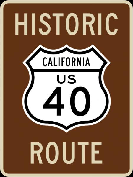
Auburn Boulevard is the long-used street name for the highway, formerly part of U.S. Route 40 connecting downtown Sacramento to Roseville.
Auburn Boulevard road was also known as part of both the Lincoln Highway and the Victory Highway during the period from 1915 until the late 1920s when the custom of named interstate highways gave way to the convention of numbered highways in the U.S. Highway System.
Auburn Boulevard road was also known as part of both the Lincoln Highway and the Victory Highway during the period from 1915 until the late 1920s when the custom of named interstate highways gave way to the convention of numbered highways in the U.S. Highway System.
Auburn Boulevard, related objects
Wikipedia article: http://en.wikipedia.org/wiki/U.S._Route_40
Nearby cities:
Coordinates: 38°39'33"N 121°20'55"W
- American River College 1.2 km
- North Highlands, California 2.3 km
- Interstate 80 Interchange 94/95 2.6 km
- Foothill Farms, California 2.7 km
- Carmichael, California 4.2 km
- Lakeview Village Mobile Home 4.2 km
- North Ridge Country Club 5.4 km
- Dredge tailings 6.4 km
- Arden-Arcade, California 6.6 km
- Fair Oaks, California 9 km
- Van Maren Lane 5.1 km
- Lichen Drive 6.8 km
- Folsom Boulevard 9 km
- Gateway Park Boulevard 13 km
- 11th Street 16 km
- 10th Street 16 km
- U.S. Route 50 34 km
- Interstate 5 (I-5) 53 km
- California State Route 99 (SR 99) Golden State Highway 181 km
- Interstate 80 (I-80) 1359 km