Lazaret
| fortification, ornithological reserve
France /
Basse-Normandie /
Saint-Vaast-la-Hougue /
Ile de Tatihou
World
/ France
/ Basse-Normandie
/ Saint-Vaast-la-Hougue
France / World / Basse-Normandie / Manche / Cherbourg / Sainte-Mère-Église
fortification, ornithological reserve
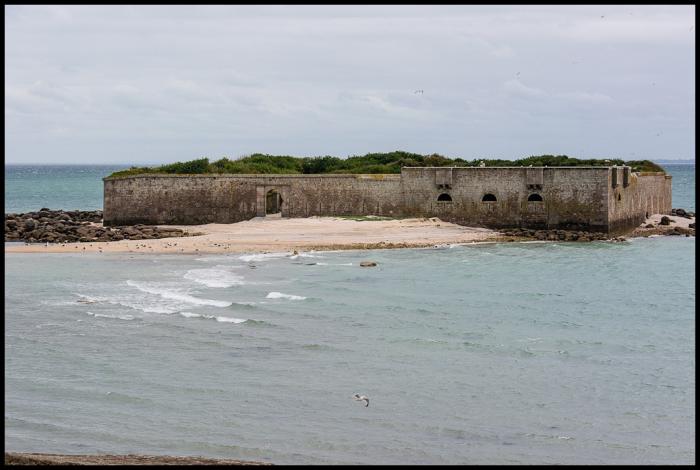
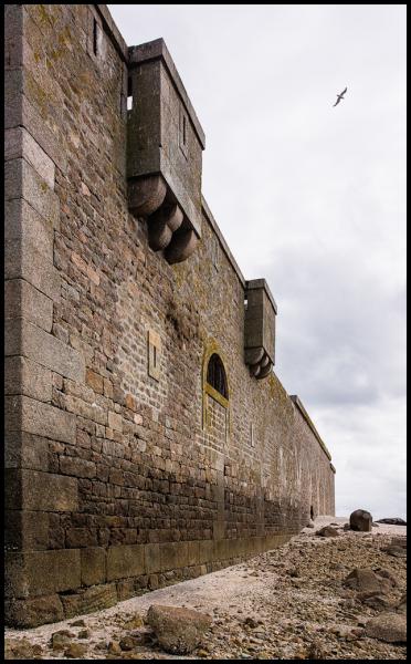
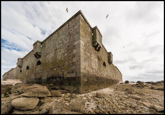
Used to quarantine the ill.
Nearby cities:
Coordinates: 49°35'3"N 1°14'30"W
- Saint-Vaast-la-Hougue Watchtower 2.7 km
- Widerstandsnest 109 former WN25 4.8 km
- Fort de Lestre 8 km
- Le Fort à Pontgibaud 10 km
- Saint-Marcouf (Crisbecq) Battery 12 km
- Chateau de Tournebut 13 km
- Azeville Battery 14 km
- Bunker WN10 4 16 km
- Château d'Amfreville 21 km
- Château de Sébeville 22 km
- Ile de Tatihou 0.6 km
- Port of St. Vaast-la-Hougue 1.7 km
- Jonville beach 2.8 km
- Oyster farms 3.1 km
- Wreck of USS YMS-304 3.9 km
- Fontenay-sur-Mer 11 km
- Saint-Marcouf 12 km
- Saint-Germain-de-Tournebut 13 km
- Saint-Floxel 13 km
- Montebourg 14 km