Khonoma
India /
Nagaland /
Kohima /
World
/ India
/ Nagaland
/ Kohima
World / India / Nagaland / Kohima
hill station
Add category


This village considered by many as the last bastion of the Naga warriors in their fight against the British Empire is situated 20 km to the west of Kohima. Once a Naga stronghold, the village tells hundreds of tales of acts of bravery and heroism in wake of attack on the tribe. A traditionally carved gate permits entry to the highest point in the village.
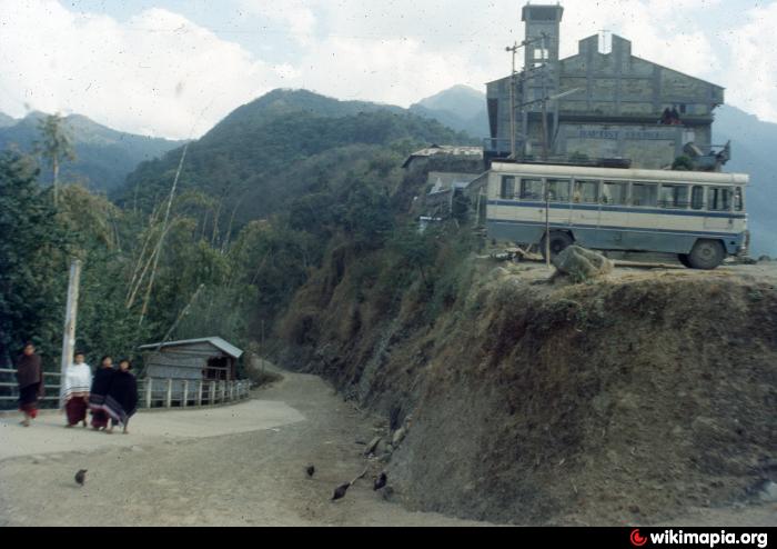
A word of caution here, the frequency of buses to Khonoma is low and it may necessitate hiring of a vehicle to visit the village. The villagers have carved some amazing terraces out of the hills to grow 20 different types of paddy at various elevations.
piran.wordpress.com/2010/07/30/khonoma-the-green-villag...
Nearby cities:
Coordinates: 25°39'0"N 94°1'18"E
- Kohima 11 km
- Kalimpong Town (कालेबुङ) 579 km
- Ranikhet 1510 km
- Shimla 1762 km
- Dharamshala 1873 km
- Kargil 1987 km
- Abbottabad 2221 km
- Yercaud 2263 km
- Madikeri 2418 km
- Kajīr Marko Hill Station 2679 km
- Thekhekhwei 7.4 km
- Zubza, Sechu Area 7.8 km
- Peducha, Kiruphema Village. NH-39 11 km
- Tsiepama Model 14 km
- kh002 14 km
- shirima kuki village 16 km
- NORTHERN ZALEN GAM 17 km
- Geljang Veng, Vengthah, Kukigam 18 km
- Peren District the Rice Bowl of Nagaland. 43 km
- Manipur 93 km