Fort Chambly (Greater Montreal Area)
Canada /
Quebec /
Marieville /
Greater Montreal Area
World
/ Canada
/ Quebec
/ Marieville
World / Canada / Québec / La Vallée-du-Richelieu
place with historical importance, fortification


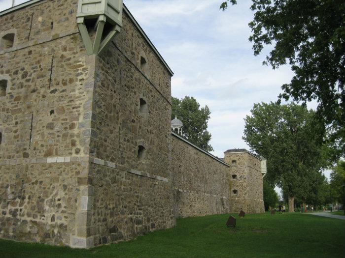
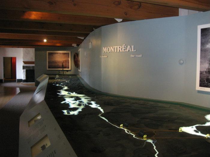

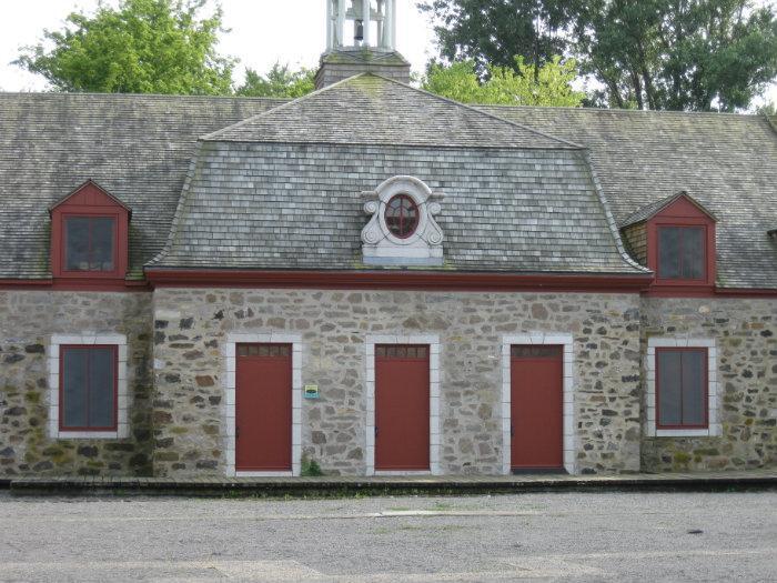
Fort Chambly is located at the edge of the Richelieu River, at the foot of the Chambly rapids. Built in 1711, this imposing stone fortification protected New France from a potential British invasion. The fort has resisted the upheavals of history and remains a valued reminder of the French presence in North America. Restored by Parks Canada, Fort Chambly now houses exhibitions showcasing key moments in the history of New France.
www.pc.gc.ca/eng/lhn-nhs/qc/fortchambly/index.aspx
www.pc.gc.ca/eng/lhn-nhs/qc/fortchambly/index.aspx
Wikipedia article: http://en.wikipedia.org/wiki/Fort_Chambly
Nearby cities:
Coordinates: 45°26'58"N 73°16'36"W
- Dutch Island / Fort Greble 464 km
- Fort Adams State Park 468 km
- CFB North Bay NORAD Regional Sector Air Operations Centre (R/SAOC) 486 km
- York Redoubt National Historic Site 770 km
- Fort Amherst / Port La Joye 790 km
- DB Lift Bridge and Interlocking 810 km
- Fortress of Louisbourg 1034 km
- CP-509 "Quad Draws" Bridges 1221 km
- Fort William Historical Park 1263 km
- Pleasantville 1589 km
- École de Bourgogne 1.3 km
- Opti-Boisé 1.4 km
- Parc Robert-Lebel 1.5 km
- Brasserie-Unibroue-Brewery 1.5 km
- Parc Gilles-Villeneuve 1.8 km
- AMT Park-n-Ride 2.6 km
- Les Légendes Golf Club 9 km
- Pasquier 12 km
- Mont St-Grégoire Golf Club 13 km
- Greater Montreal Area 33 km