Winslow Air Force Station (Site)(AZ, USA)
USA /
Arizona /
Winslow West /
World
/ USA
/ Arizona
/ Winslow West
World / United States / Arizona
military, radar station, abandoned / shut down, United States Air Force

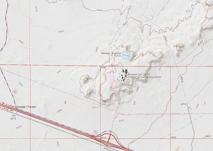
This mesa was once the site of Winslow AFS. From 1956 to 1963 it was the home of the 904th Aircraft Control & Warning Squadron. The Air Force closed the station in May of 63.
At one time there were numerous buildings including barracks and offices, not to mention the radar towers. This site has been scraped, but the outlines remain.
www.radomes.org/museum/showsite.php?site=Winslow+AFS%2C...
At one time there were numerous buildings including barracks and offices, not to mention the radar towers. This site has been scraped, but the outlines remain.
www.radomes.org/museum/showsite.php?site=Winslow+AFS%2C...
Nearby cities:
Coordinates: 35°4'56"N 110°49'55"W
- Arizona Army National Guard 76 km
- B-24 Crash Site 83 km
- United States Naval Observatory - Flagstaff Station 84 km
- Ground Wave Emergency Network (GWEN) 91 km
- Pithouse Ruin 97 km
- Weapons Storage Bunkers 98 km
- Camp Navajo 100 km
- Arizona Army National Guard 156 km
- Winslow West, Arizona 9 km
- Cooper Town 11 km
- Desert View Community 11 km
- Winslow-Lindbergh Regional Airport (INW/KINW) 12 km
- Bushman Acres 15 km
- Homolovi State Park 17 km
- Great Meteor Crater - Barringer Meteorite Crater 18 km
- West Sunset Mountain 25 km
- Leupp, Arizona 29 km
- Hugo Meadows, Chevelon Creek State Wildlife Area 33 km