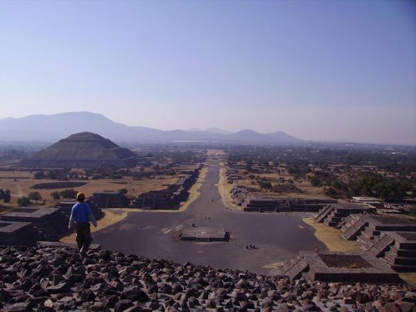
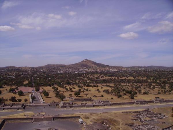
Roadway of the Dead
Mexico /
Teotihuacan /
World
/ Mexico
/ Mexico
/ Teotihuacan
World / Mexico / México
road
Add category


Road pedestrian.
Nearby cities:
Coordinates: 19°41'24"N 98°50'47"W
- Lázaro Cárdenas 688 km
- Imigration inspection station food Cafe meal yummy 799 km
- Banco Industrial, S.A. 1058 km
- GyT Continental Concepción 1059 km
- Teotihuacan 0.1 km
- San Francisco Mazapa 1.4 km
- San Martín de las Piramides 2.4 km
- Teotihuacan de Arista 3.1 km
- Xometla 6.3 km
- Santiago Tolman 6.5 km
- San Luis Tecuhautitlán 7.6 km
- Acolman de Nezahualcóyotl 9 km
- Santa Ana Tlachihualpa 11 km
- Greater Mexico City 39 km
Comments