The Charing Cross (London)
United Kingdom /
England /
London
World
/ United Kingdom
/ England
/ London
World / United Kingdom / England
road junction
Add category
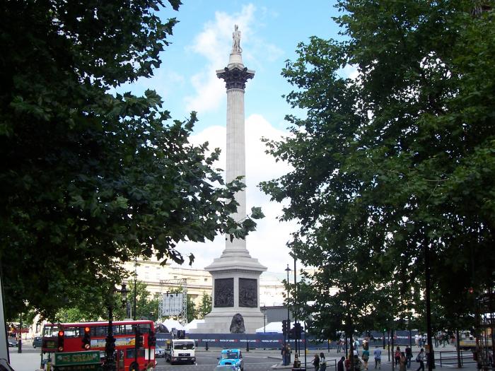
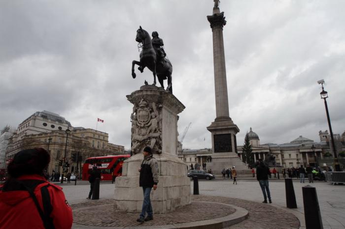
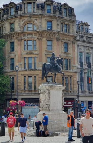
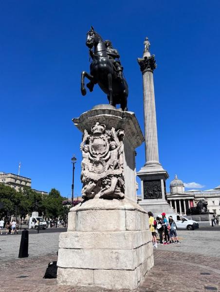

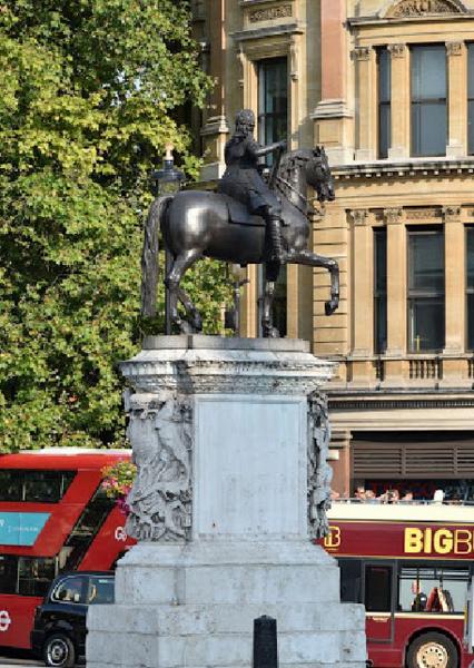
Not the nearby station, but the actual place where King Edward the first placed a memorial to his wife Eleanor. It is the official centre of London, and the point from where all distances to and from the city are measured on road signs.
Also the point in London from which the 6 mile radius is measured for the purposes of the "Knowledge" for London Taxi drivers.
Also the point in London from which the 6 mile radius is measured for the purposes of the "Knowledge" for London Taxi drivers.
Wikipedia article: http://en.wikipedia.org/wiki/Charing_Cross
Nearby cities:
Coordinates: 51°30'26"N -0°7'39"E
- St. George in the East 3.8 km
- Regent’s canal 3.9 km
- London West Tunnel for the High Speed 1 4.7 km
- Rotherhithe Road Tunnel 5.1 km
- Parkland Walk, Stroud Green, London 7.8 km
- Sydenham Hill Railway Tunnel 9 km
- M4 Junction 4B & M25 Junction 15 26 km
- M25 J7, M23 J8 Interchange 26 km
- M25 Junction 16 / M40 Junction 1a 30 km
- M25/M3 Interchange 31 km
- St. James's 0.5 km
- Central London 0.5 km
- St. James's Park 0.7 km
- The Mall 0.7 km
- St. James's Park Lake 0.7 km
- Covent Garden 0.7 km
- Strand 0.8 km
- Lambeth 1.3 km
- City of Westminster 2.5 km
- Lambeth Council 5.4 km
Comments