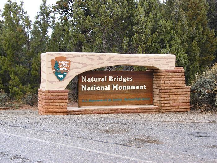
Natural Bridges National Monument
USA /
Utah /
Mexican Hat /
Natural Bridge Road
World
/ USA
/ Utah
/ Mexican Hat
World / United States / Utah
park, arch, monument, natural monument, national park, tourist attraction
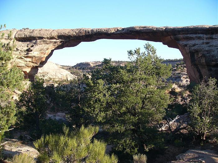
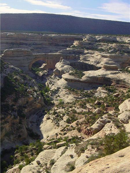


Natural Bridges National Monument, established in 1908, protects three of the finest examples of natural bridges in the southwest. Located on a tree-covered mesa cut by deep sandstone canyons, the bridges formed where meandering streams eroded the canyon walls. The bridges are named Kachina, Owachomo and Sipapu. The national monument also contains ancient Puebloan cliff dwellings. It is part of the National Park System.
www.nps.gov/nabr/
www.nps.gov/carto/hfc/carto/media/NABmap1.pdf
www.nps.gov/nabr/
www.nps.gov/carto/hfc/carto/media/NABmap1.pdf
Wikipedia article: http://en.wikipedia.org/wiki/Natural_Bridges_National_Monument
Nearby cities:
Coordinates: 37°36'9"N 110°0'23"W
- Monument Valley Navajo Tribal Park 63 km
- The Needles District 66 km
- Glen Canyon National Recreation Area 82 km
- Canyonlands National Park 101 km
- Dead Horse Point State Park 107 km
- Goblin Valley State Park 126 km
- Capitol Reef National Park 162 km
- Kodachrome Basin State Park 178 km
- Bryce Canyon National Park 200 km
- Fremont Indian State Park 233 km
- Sipapu Bridge 1.5 km
- Campground 2.1 km
- Kachina Bridge 2.2 km
- Owachomo Bridge 2.3 km
- Ranger Housing 2.6 km
- Wastewater 2.7 km
- Bears Ears West 12 km
- Bears Ears East 14 km
- Comb Wash 35 km
- Comb Ridge 39 km
Comments