Petrovaradin Fortress (Novi Sad)
Serbia and Montenegro /
Vojvodina /
Petrovaradin /
Novi Sad
World
/ Serbia and Montenegro
/ Vojvodina
/ Petrovaradin
, 2 km from center (Петроварадин)
World / Serbia / Južno-Bački
park, monument, fortification


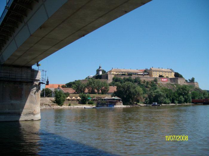
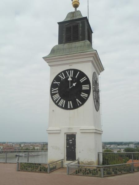
Old medieval fortress built in the 13th century by the Hungarians on the banks of the river Danube (on the site of a Roman fortress). It was strengthened, expanded and modernised between 1692-1780 by the Austrians. They also added a vast network of underground tunnels (16km long).
Home of "Exit" Fest. See: www.exitfest.org
Home of "Exit" Fest. See: www.exitfest.org
Wikipedia article: http://en.wikipedia.org/wiki/Petrovaradin_Fortress
Nearby cities:
Coordinates: 45°15'8"N 19°51'58"E
- Special nature reserve "Koviljsko-Petrovaradinski Rit" 2.4 km
- Stražilovo 8.5 km
- Titelski Breg 21 km
- Žabalj (Jegrička) Lake 22 km
- Carska Bara (nature Reserve) 39 km
- Бисерно острво--Pearl Island 39 km
- Molin 68 km
- Macedonia Forest 94 km
- Diniaş Salt pans 99 km
- Satchinez Swamps reservation 119 km
- Petrovaradinska Ada (Ribarska Ada) 1.4 km
- Eastern Novi Sad (Petrovaradin) 1.9 km
- MIŠELUK 2.4 km
- Refinery nagte - Novi Sad (Novi Sad municipality) 2.4 km
- RADNA ZONA SEVER 4 (RATNO OSTRVO) 3.2 km
- Dunavac Island 5.2 km
- Urban municipality of Petrovaradin 5.7 km
- Urban Municipality of Novi Sad 6.6 km
- Landfills 6.8 km
- Municipality of Sremski Karlovci 9 km
Comments