USA /
Florida /
Indian Shores /


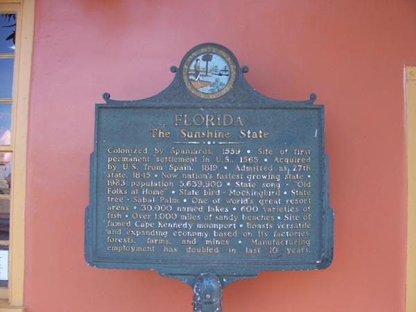
Florida
World / USA / Florida / Indian Shores World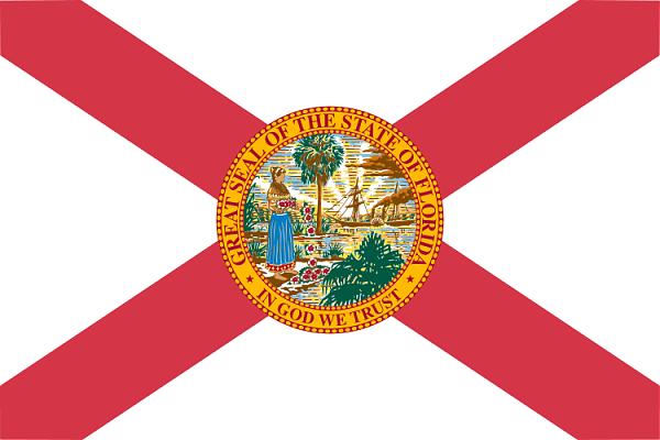
Florida is a state located in the southeastern region of the United States, bordered by Alabama to the northwest and Georgia to the northeast. The land mass of the state consists of a northwestern panhandle and a large peninsula surrounded by the Gulf of Mexico to the west, the Atlantic Ocean to the east, and the Florida Straits to the south. Most of Florida has a humid subtropical climate; southern Florida has a tropical climate.
Florida was named by conquistador Juan Ponce de León, who landed on the peninsula on April 2nd, 1513, during Pascua Florida (Spanish for "Flowery Easter"). The land was once a Spanish territory on the eastern coast, and a French territory on the northern part of the state (referred to as the "panhandle"). The land was transferred to England 1763 through the Peace of Paris, and in 1819, the Adams-Onís Treaty made it a United States territory. On March 3, 1845, Florida became the 27th state of the United States of America.
Florida was named by conquistador Juan Ponce de León, who landed on the peninsula on April 2nd, 1513, during Pascua Florida (Spanish for "Flowery Easter"). The land was once a Spanish territory on the eastern coast, and a French territory on the northern part of the state (referred to as the "panhandle"). The land was transferred to England 1763 through the Peace of Paris, and in 1819, the Adams-Onís Treaty made it a United States territory. On March 3, 1845, Florida became the 27th state of the United States of America.
stateinvisiblefirst-level administrative division
Wikipedia article: http://en.wikipedia.org/wiki/Florida
Nearby cities:
Coordinates: 27°44'48"N 83°49'52"W
- Georgia 825 km
- New York 1956 km
- Kansas 2160 km
- Nebraska 2490 km
- New Mexico 2575 km
- Colorado 2731 km
- Wyoming 3080 km
- Utah 3159 km
- Nevada 3629 km
- Washington 4208 km
Array
Comments