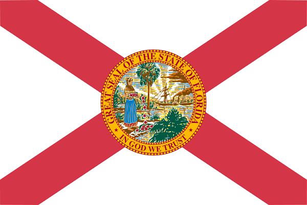
Florida
USA /
Florida /
Indian Shores /
World
/ USA
/ Florida
/ Indian Shores
Pasaule
štats / pavalsts, neredzams, pirmā līmeņa administrācija
Wikipedia raksts: http://lv.wikipedia.org/wiki/Florida
Tuvākās pilsētas:
Koordinātas: 27°44'48"N 83°49'52"W