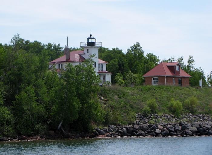
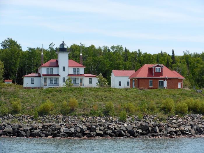
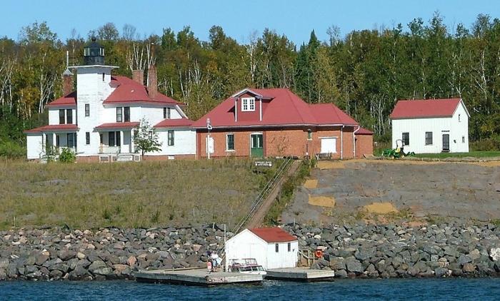
Raspberry Island Lighthouse
USA /
Wisconsin /
Bayfield /
World
/ USA
/ Wisconsin
/ Bayfield
World / United States / Wisconsin
lighthouse
Add category
Raspberry Island Lighthouse
Wikipedia article: http://en.wikipedia.org/wiki/Raspberry_Island_Light
Nearby cities:
Coordinates: 46°58'13"N 90°48'17"W
- Lake Minatare State Recreation Area and Historic Lake Minatare Lighthouse 1153 km
- Beacon Hill 2277 km
- Merry Island 2452 km
- Heceta Head Lighthouse, Devils Elbow State Park 2597 km
- Lantern Point 2711 km
- Santa Cruz (Gull Island) Aid to Navigation 2829 km
- Playa de la Isla de la Piedra 2992 km
- Smoky Point Lighthouse 4505 km
- USCG Molokai Light 6519 km
- USCG La’au Point 6553 km
- Oak Island 6.9 km
- Apostle Islands National Lakeshore 8.9 km
- Red Cliff Reservation 9 km
- Sand Island 11 km
- Big Bay State park 20 km
- Madeline Island 20 km
- Bark Bay 30 km
- Kakagon Sloughs 35 km
- Port Wing 49 km
- Bad River Reservation 49 km