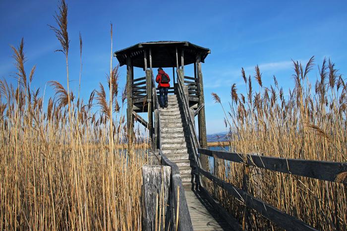
Estuary of Isonzo river
Italy /
Friuli-Venezia Giulia /
Duino-Aurisina /
World
/ Italy
/ Friuli-Venezia Giulia
/ Duino-Aurisina
World / Slovenia / Obalno-kraška
river mouth
Add category
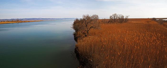
The Isonzo (in Italian) or (Soča (in Slovene) other names Friulian: Lusinç, archaic German: Sontig, Latin: Aesontius or Sontius) is a 140 km long river that flows through western Slovenia and northeast Italy. An Alpine river in character, its source lies in the Trenta Valley in the Julian Alps in Slovenia, at an elevation of around 1,100 metres. The river runs past Slovenia's highest peak, Triglav (2,864 m) before heading south past the towns of Bovec, Kobarid, Tolmin, Kanal ob Soči, Nova Gorica (where it is crossed by the Solkan Bridge) and Gorizia, entering the Adriatic Sea close to the Italian town of Monfalcone.
Wikipedia article: http://en.wikipedia.org/wiki/Soča
Nearby cities:
Coordinates: 45°43'44"N 13°32'33"E
- Semedel channel 25 km
- Regional Park of the Delta Po of Venice (VE) 118 km
- River delta of Neretva 428 km
- Bunica and Buna Confluence 439 km
- Tisa Estuary 526 km
- Nera River Delta 619 km
- Border zone 635 km
- Drin's Liman 654 km
- Estuary of Mat River 663 km
- Estuary of Shkumbin River 706 km
- Staranzano Municipality 5.3 km
- Porto di Monfalcone 6.7 km
- Fincantieri S.p.A. Monfalcone ShipYard. 7.5 km
- Borgo San Mauro 8.9 km
- Duino-Aurisina Municipality 9 km
- Gulf of Trieste 11 km
- Baia di Grignano 13 km
- Sgonico Municipality 16 km
- Trieste 20 km
- Friuli-Venezia Giulia 54 km