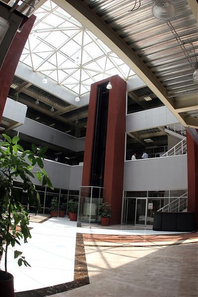
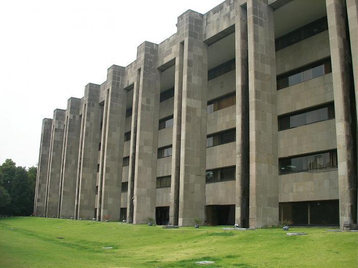
San Lazaro Legislative Palace
Mexico /
Distrito Federal /
Mexico City /
Avenida Congreso de la Unión, 66
World
/ Mexico
/ Distrito Federal
/ Mexico City
World / Mexico / Distrito Federal
national government / government, congress centre
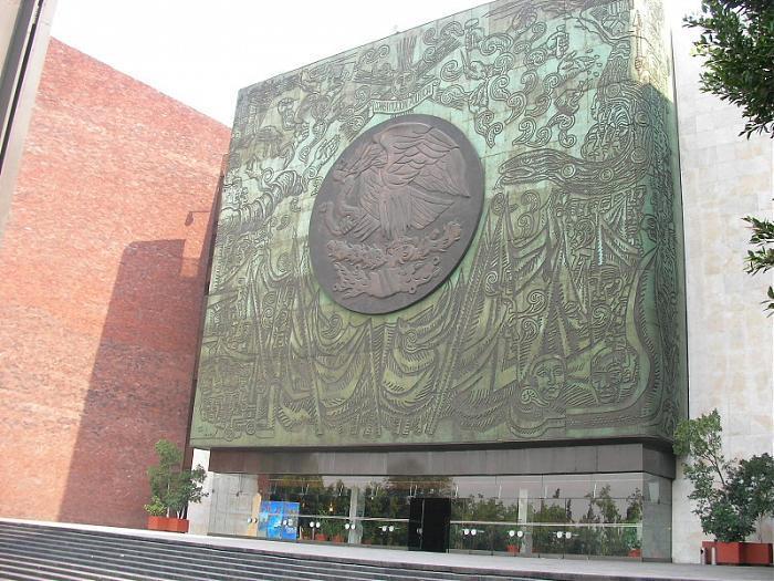
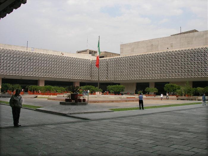

Chamber of deputies. Lower house of the Mexican Congress.
Nearby cities:
Coordinates: 19°25'47"N 99°7'2"W
- TDCJ Ramsey Unit 1157 km
- Johnson Space Center (NASA) 1200 km
- Branch Davidian Compound - Mount Carmel Center 1371 km
- United States Government Underground Munitions Depot Complex 1473 km
- Navajo County Governmental Complex 2035 km
- National Security Campus - Kansas City Plant 2208 km
- Denver Federal Center 2331 km
- National Renewable Energy Lab 2335 km
- NIST and NOAA 2364 km
- West Coast Receiving Station 3116 km
- Eastern Passenger Bus Terminal (TAPO) 0.5 km
- 7 de Julio 0.6 km
- Hospital General de Balbuena (Antigua Cruz Verde) 0.7 km
- Lecumberri garden 0.9 km
- Chedraui 1 km
- The Home Depot 1.7 km
- Greater Mexico City 2.9 km
- Venustiano Carranza borough 3.2 km
- Ignacio Zaragoza 3.3 km
- Iztacalco borough 4.1 km