Leithtown, Virginia
USA /
Virginia /
Middleburg /
World
/ USA
/ Virginia
/ Middleburg
World / United States / Virginia
unincorporated area / community
Add category
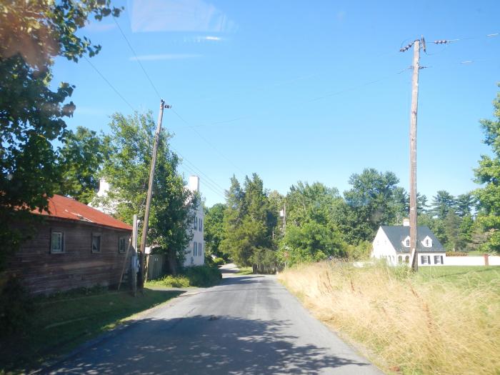
Also known as Pot House, in reference to a pottery operation here at the end of the 18th century. A post office was located here until 1904. The Pot House School closed in 1984. Today, there is nothing of note here, besides the adjacent Foxcroft School.
Wikipedia article: http://en.wikipedia.org/wiki/Leithtown,_Virginia
Nearby cities:
Coordinates: 39°0'47"N 77°45'32"W
- Catharpin, Virginia 20 km
- Ada, Virginia 23 km
- Sudley Springs, Virginia 25 km
- Shannondale, West Virginia 25 km
- Potomac Falls, Virginia 28 km
- Hattontown, Virginia 31 km
- Chester Gap, Virginia 38 km
- Weverton, Maryland 38 km
- Adamstown, Maryland 41 km
- Clover Hill, Maryland 57 km
- Llangollen 12 km
- Loudoun County, Virginia 13 km
- Sky Meadows State Park 18 km
- G. Richard Thompson Wildlife Management Area 22 km
- Clarke County, Virginia 23 km
- Fauquier County, Virginia 34 km
- Warren County, Virginia 40 km
- Prince William County, Virginia 41 km
- Rappahannock County, Virginia 48 km
- Frederick County, Virginia 52 km