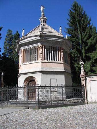
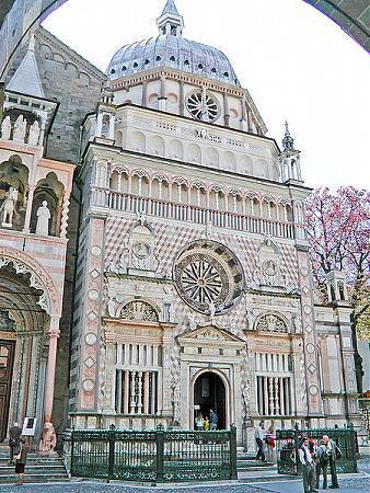
Città Alta
Italy /
Lombardei /
Bergamo /
World
/ Italy
/ Lombardei
/ Bergamo
World / Italy / Lombardia / Bergamo
fortification, interesting place, UNESCO World Heritage Site, historic landmark
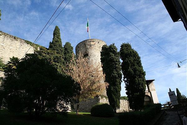

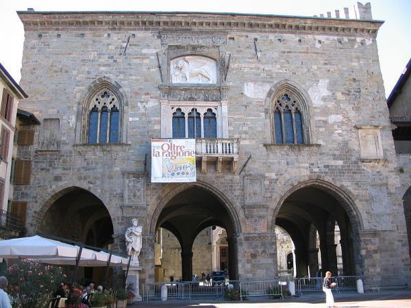
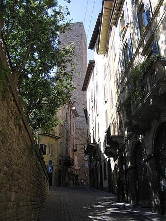
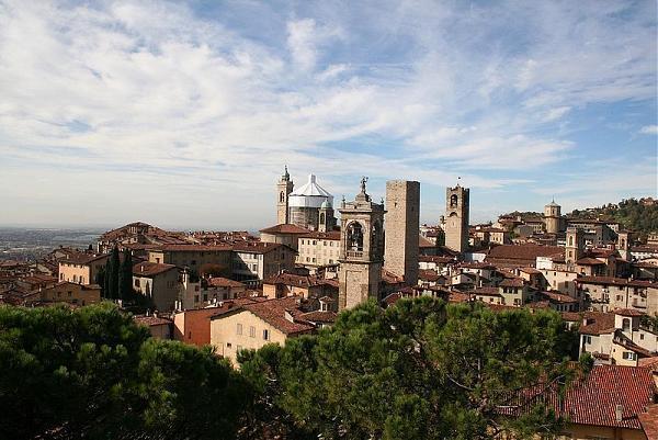
The upper city, surrounded by Venetian walls built in the 17th century, forms the historic centre of Bergamo.
Wikipedia article: http://en.wikipedia.org/wiki/Bergamo#Upper_city
Nearby cities:
Coordinates: 45°42'15"N 9°39'56"E
- Correggio Old Town 135 km
- Historical Center 159 km
- Zuccarello 215 km
- Nördlingen 358 km
- Camp de César, Orsan 433 km
- Fort de Romainville 651 km
- Ile de la Cite 655 km
- Garden of Luxembourg 655 km
- Place de la Concorde 657 km
- Illiers-Combray 702 km
- Bergamo 1.2 km
- Loreto 2 km
- Azzano San Paolo 5.3 km
- Brembo - Curno plant 5.7 km
- Global Cloud Data Center IT3, Italy (DC7) 5.9 km
- Ponte San Pietro Municipality 6.7 km
- Brembate di Sopra Municipality 6.8 km
- Presezzo Municipality 7.5 km
- Bonate Sopra Municipality 8.3 km
- Bonate Sotto Municipality 9 km