Rüstem Paşa (Istanbul Metropolitan Municipality)
| neighbourhood, fourth-level administrative division
Turkey /
Istanbul /
Istanbul Metropolitan Municipality
World
/ Turkey
/ Istanbul
/ Istanbul
World / Turkey / Istanbul
neighbourhood, draw only border, fourth-level administrative division
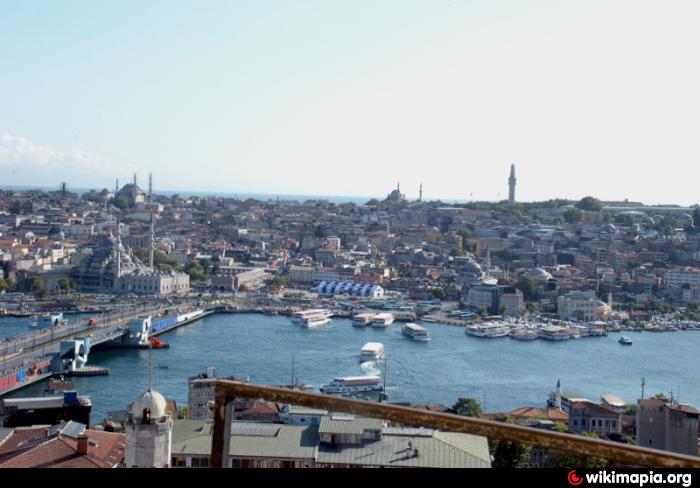
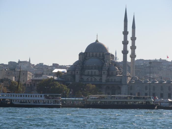
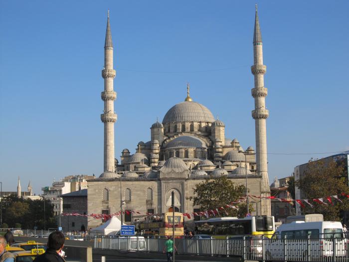
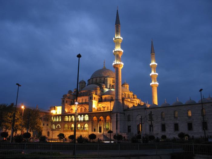
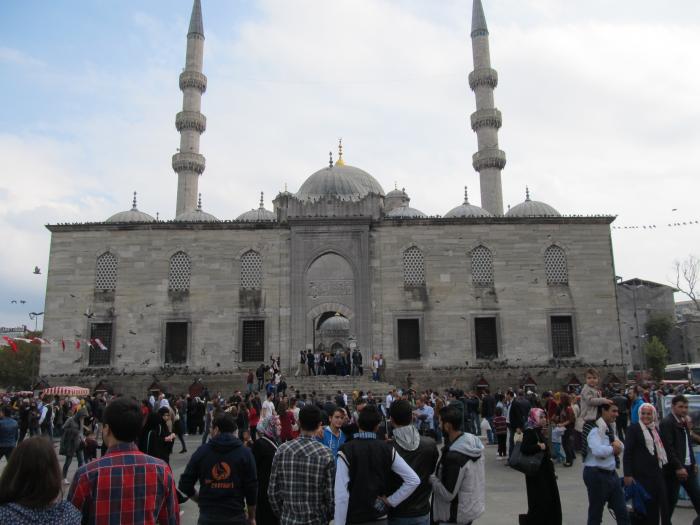
Rüstem Paşa Neighbourhood, Fatih District.
(Until the 22 March 2008 neighbourhood of the former district Eminönü)
(Until the 22 March 2008 neighbourhood of the former district Eminönü)
Nearby cities:
Coordinates: 41°1'3"N 28°58'15"E
- (Central) Şişli 5.9 km
- Maltepe 6.5 km
- Kazlıçeşme 6.9 km
- (Central) Kağıthane 8.5 km
- Seyrantepe 10 km
- Zuhuratbaba 10 km
- (Central) Bahçelievler 10 km
- Hamidiye 11 km
- Yüzyıl 12 km
- Esentepe 13 km
- Suleymaniye Mosque Complex 0.6 km
- Eminönü 0.6 km
- Golden Horn Metro Bridge 0.7 km
- Istanbul University 0.9 km
- Hacıkadın 1 km
- Istanbul Manifaturacilar Bazaar 1 km
- Fatih (District) 1.5 km
- Golden Horn 3.5 km
- Istanbul Province 20 km
- Sea of Marmara 66 km