Razavi Khorasan Province
Iran /
Khorasan /
Torbat-e Hheydariyeh /
World
/ Iran
/ Khorasan
/ Torbat-e Hheydariyeh
, 55 km from center (تربت حيدريه)
World / Iran / Razavi Khorasan
province, first-level administrative division, draw only border


Razavi Khorasan (Persian: خراسان رضوی) is one of the 30 provinces of Iran, located in the northeastern part of the country. It is one of the three provinces that were created after the division of Khorasan province in 2004. It borders North Khorasan province and Turkmenistan in the north, Semnan province in the west, Yazd and South Khorasan provinces in the south and Afghanistan and Turkmenistan in the east. Razavi Khorasan covers an area of 144,681 km² and has a population of 5,593,079 (2005). It has 19 counties and its center is Mashhad; other major cities are Ghouchan, Torbat-e Heydarieh, Torbat-e Jam, Kashmar, Neyshabour and Sabzevar.
Greater Khorasan has witnessed the rise and fall of many dynasties and governments in its territory throughout history. Ancient geographers of Iran divided Iran (Iran-Shahr) into eight segments, of which the most flourishing and largest was the territory of Greater Khorasan. The famous Parthian Empire was based near Merv in Khorasan for many years. However they did have many fortifications and strongholds in Khorasan. During the Sassanid dynasty the province was governed by an Espahbod (Lieutenant General) called "Padgoosban" and four margraves, each commander of one of the four parts of the province. Khorassan was divided into four parts during the Islamic Conquest of Iran and each section was named after the four large cities, such as Neyshabour, Merv, Herat, and Balkh.
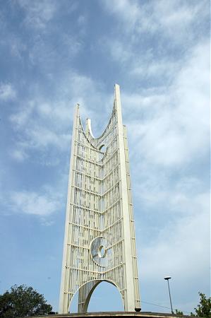
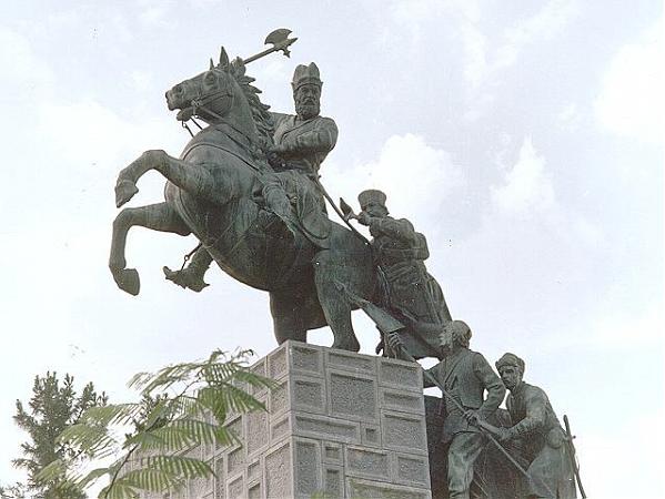
Razavi Khorasan has many historical and natural attractions. Some of these popular attractions are Ferdowsi's mausoleum in Tus, Tomb of Omar Khayyam and Kamal-ol-Molk in Nishapur, Goharshad mosque and the vast shrine-complex of Imam Reza that forms the heart of Mashhad, Khaneh Khorshid, Tomb of Nadir Shah Afshar in central Mashhad, Akhangan (Akhanjan) tower, north of Tus, Haruniyeh dome in Tus, Tus citadel, Bazangan lake, Kooh Sangi, and Band-e-Golestan.
Greater Khorasan has witnessed the rise and fall of many dynasties and governments in its territory throughout history. Ancient geographers of Iran divided Iran (Iran-Shahr) into eight segments, of which the most flourishing and largest was the territory of Greater Khorasan. The famous Parthian Empire was based near Merv in Khorasan for many years. However they did have many fortifications and strongholds in Khorasan. During the Sassanid dynasty the province was governed by an Espahbod (Lieutenant General) called "Padgoosban" and four margraves, each commander of one of the four parts of the province. Khorassan was divided into four parts during the Islamic Conquest of Iran and each section was named after the four large cities, such as Neyshabour, Merv, Herat, and Balkh.
Razavi Khorasan has many historical and natural attractions. Some of these popular attractions are Ferdowsi's mausoleum in Tus, Tomb of Omar Khayyam and Kamal-ol-Molk in Nishapur, Goharshad mosque and the vast shrine-complex of Imam Reza that forms the heart of Mashhad, Khaneh Khorshid, Tomb of Nadir Shah Afshar in central Mashhad, Akhangan (Akhanjan) tower, north of Tus, Haruniyeh dome in Tus, Tus citadel, Bazangan lake, Kooh Sangi, and Band-e-Golestan.
Wikipedia article: http://en.wikipedia.org/wiki/Razavi_Khorasan_Province
Nearby cities:
Coordinates: 35°51'3"N 58°49'14"E
- Balochistan Province 460 km
- Kerman Province 584 km
- Punjab Province 983 km
- Riyadh Province 1865 km
- Northern Borders Region 1974 km
- Mahajanga Province 5752 km
- Toliara Province 6236 km
- East Kalimantan 6608 km
- Papua 8846 km
- Saskatchewan 9318 km
- معدن طلای ارغش 18 km
- بقایای کلاته شور حاج نعمت ( The remains of the "Kalate_shur_Hajnemat" village 19 km
- معدن 26 km
- Summit, 2870 m 31 km
- Summit, 2930 m 32 km
- Sumit 3011 37 km
- Summit, 2940 m 37 km
- rodkhane 40 km
- WATERFALL 44 km
- Rivash Substation 51 km
Comments