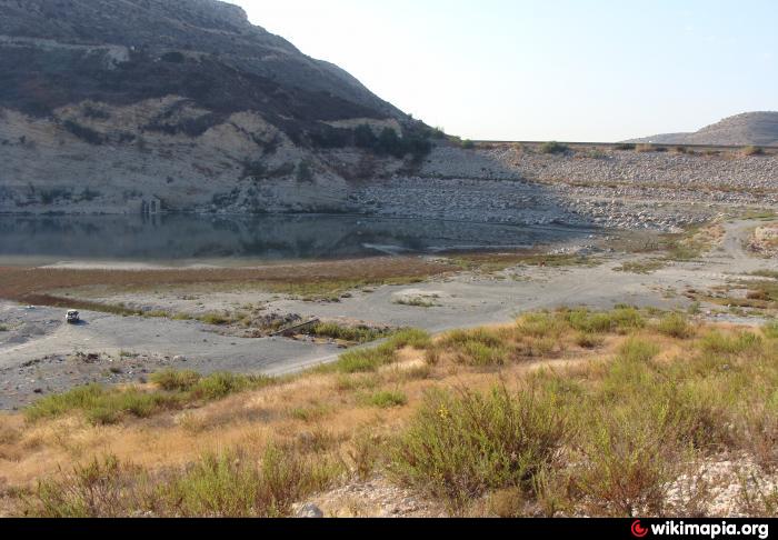
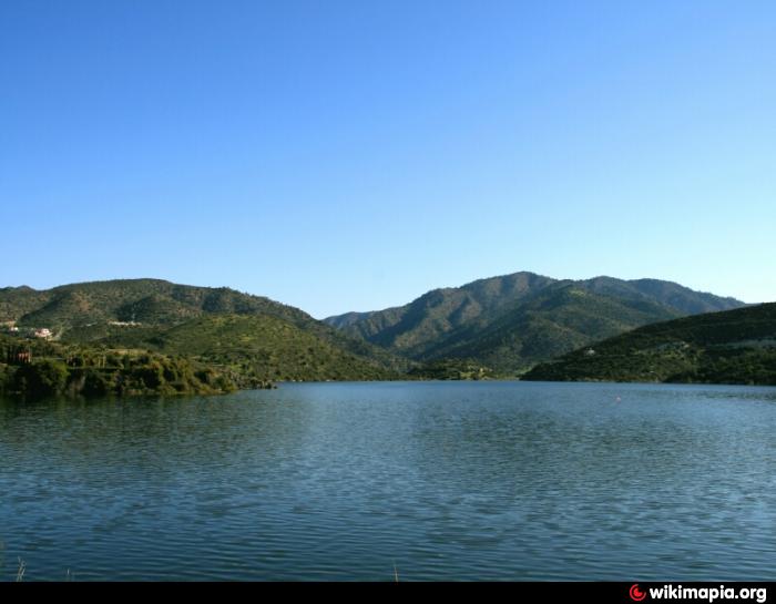
Germasogeia Dam
Cyprus /
Government controlled area /
Foinikaria /
World
/ Cyprus
/ Government controlled area
/ Foinikaria
World / Cyprus
Google panorama: goo.gl/maps/eCSoE1syPKMhoM2JA
Nearby cities:
Coordinates: 34°45'12"N 33°5'26"E
- Calabria - Foinikaria 2.1 km
- Solar Park 2.5 km
- Elias Country Club 4.3 km
- Riding School 4.8 km
- Simon's House 5.9 km
- Pyrgos Villas 8.4 km
- Epilas 10 km
- Georgiou chickens farms 10 km
- S.V.N Pitsillides Brothers LTD 11 km
- Kampos tou Papa 11 km
- Quarry 2.5 km
- Quarry 3 km
- Yermasoyia Municiplaity 3.8 km
- Santa Marina Retreat 4.3 km
- Quarry 6.7 km
- Limassol District 12 km
- Quarry 12 km
- Vikla Golf and Country Club 13 km
- Troodos mountain range 28 km
- Larnaca District 43 km