Shouf District (Mazrait esh Shouf)
Lebanon /
al-Janub /
Jazzin /
Mazrait esh Shouf
World
/ Lebanon
/ al-Janub
/ Jazzin
, 5 km from center (جزين)
World / Lebanon / Mount Lebanon
district, region, draw only border


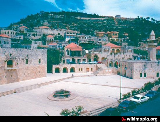
Chouf (also spelled Shouf, Shuf or Chuf, in Arabic جبل الشوف Jebel ash-Shouf) is a historic region of Lebanon, as well as an administrative district in the governorate (mohafazat) of Mount Lebanon.
Wikipedia article: http://en.wikipedia.org/wiki/Chouf_District
Nearby cities:
Coordinates: 33°37'45"N 35°34'41"E
- Western Bekaa District 17 km
- Batroun District 79 km
- Minyeh Ed-Denniyeh District 102 km
- Akkar District 123 km
- Talkalakh district 146 km
- Markaz Hama Subdistrict 205 km
- Famagusta District 295 km
- Antakya district 311 km
- Al-Bab District (PCS) 347 km
- Girê Spî/Tell Abyad Area (DFNS) 444 km
- Mazrait esh Shouf municipality 0.9 km
- Gharifeh muncipality 2.7 km
- Bater ash Shouf muncipality 5.1 km
- Baaqleen municipality 5.1 km
- Aanout municipality 6.2 km
- Al Jehliyeh municipality 7.5 km
- Mazrait ed Dahr municipality 7.9 km
- Niha municipality 10 km
- Mount Lebanon Governorate 13 km
- South Lebanon Governorate 37 km
Comments