Stanovoy Range (Outer Khingan Range)
Russia /
Saha /
Nagornyy /
World
/ Russia
/ Saha
/ Nagornyy
, 120 km from center (Нагорный)
World / Russia / Sakha
mountain, ridge

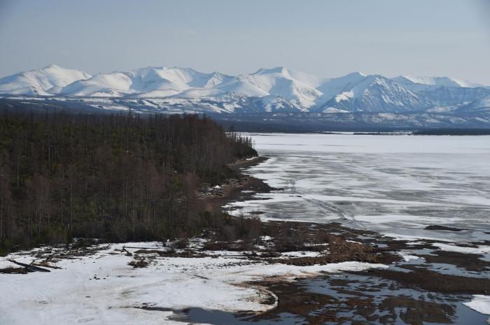


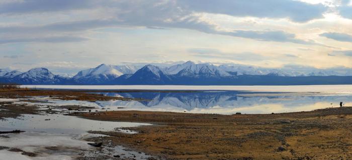
Mountain range located in Russian Far East. 450 mile (720 km) long, extending east from the Olekma River; it rises to sea level 8,150 ft (2,480 m) at Golets Skalisty. It forms part of the border between the Sakha Republic and the Amur Region. The range is continued by the Dzhugdzhur Range, which swings north parallel to the Sea of Okhotsk. The system forms the watershed between the Lena and Amur river basins.
Wikipedia article: http://en.wikipedia.org/wiki/Stanovoi_Range
Nearby cities:
Coordinates: 56°20'7"N 126°0'14"E
- Peak BAM, 3072 m 519 km
- volcan dolinnyi (Plateau d'Udokan russie) 527 km
- Vulkan Chepe 529 km
- Konder mountain 539 km
- Южная вершина Муйского Гиганта 718 km
Array