Nyoma
India /
Jammu and Kashmir /
Leh /
World
/ India
/ Jammu and Kashmir
/ Leh
World / India / Jammu and Kashmir / Ladakh (Leh)
village, taluka headquarter

Tehsil Nyoma, District Leh. Ladakh, Bharat
Nyoma - Administrative Hqrs of the Changthang Sub Division
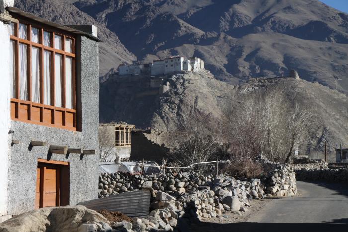
A town (4235 mtrs) of about 110 houses and a gompa fittingly perched above the town. Lots of fields and lots of herds of pashmina goats. It has a Customs office too, as near here five routes from Tibet merge.
The whole town gets electricity from solar panels. In winter the Indus is frozen and people cross over to Nidar over the Indus even in their Jeeps. The first photograph is of Nyoma in winter.
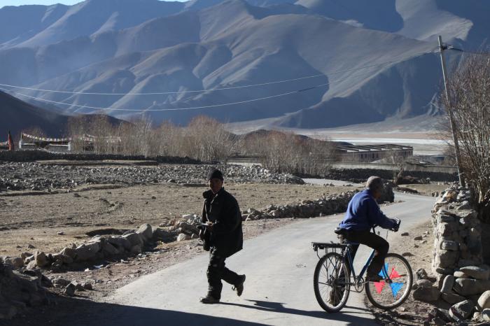
Opposite, across the Indus, can be seen the plains and fields of Nidar village. That is also an alternative way, over the Thit Zarbo La to Hanle and the Kyun Tsos.
Nyoma - Administrative Hqrs of the Changthang Sub Division
A town (4235 mtrs) of about 110 houses and a gompa fittingly perched above the town. Lots of fields and lots of herds of pashmina goats. It has a Customs office too, as near here five routes from Tibet merge.
The whole town gets electricity from solar panels. In winter the Indus is frozen and people cross over to Nidar over the Indus even in their Jeeps. The first photograph is of Nyoma in winter.
Opposite, across the Indus, can be seen the plains and fields of Nidar village. That is also an alternative way, over the Thit Zarbo La to Hanle and the Kyun Tsos.
Nearby cities:
Coordinates: 33°12'19"N 78°38'28"E
- Chushul 45 km
- Shara 97 km
- Karu 116 km
- Nang (Stagma) 127 km
- Matho 131 km
- Tang-nyer Village, Ladakh, India 138 km
- Chuchot 140 km
- Stok 143 km
- Saboo 143 km
- Phyang 155 km
- Frozen Indus 10 km
- Changthang Wildlife Sanctuary 29 km
- Mitpal Tso 29 km
- Kyule Tso (Yashu Tso) 29 km
- Lake 42 km
- Startsapuk Tso 56 km
- Kanglu Kangri Glacier 57 km
- Finger 3-4 Indian Territory 60 km
- Pangong Lake, Indian Side 60 km
- Pangong Lake 69 km
Comments