World War II "Pill Box" (London)
United Kingdom /
England /
Westham /
London
World
/ United Kingdom
/ England
/ Westham
World / United Kingdom / England
lock (water navigation), greenway, interesting place
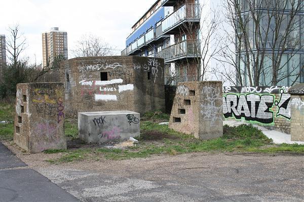

World War II "Pill Box", remnant of the defences put in place to protect the Lea Navigation during the war.
en.wikipedia.org/wiki/Bunker
en.wikipedia.org/wiki/Bunker
Wikipedia article: http://en.wikipedia.org/wiki/Greenway,_London
Nearby cities:
Coordinates: 51°32'12"N -0°1'17"E
- Teddington Barge Lock 24 km
- Stockton Locks 124 km
- Wilmcote Flight 140 km
- Caen Hill Locks 141 km
- Deadman's Ait 146 km
- Knowle Locks 150 km
- Camp Hill Locks 165 km
- Site of the Uncompleted Balance Locks on the Dorset and Somerset Canal (Disused) 166 km
- Farmer's Bridge Locks 167 km
- Delph Locks 178 km
- Old Ford 0.5 km
- Queen Elizabeth Olympic Park 0.9 km
- Lower Lea Valley 1.2 km
- Stratford 1.2 km
- Hackney 1.9 km
- Tower Hamlets Council 2.6 km
- Poplar 2.7 km
- Stepney 2.7 km
- London Borough of Hackney 3 km
- London Borough of Newham 3.9 km