St Thomas' Creek (London)
United Kingdom /
England /
Westham /
London
World
/ United Kingdom
/ England
/ Westham
World / United Kingdom / England
creek
Add category
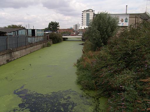
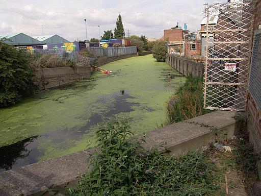
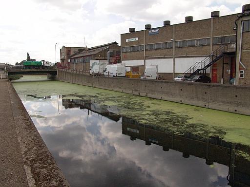
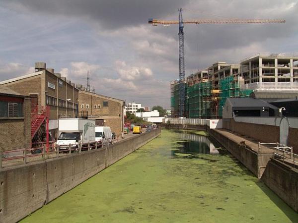
Of the many channels in the area, the Bow Back/St Thomas' is the most industrialised section remaining, though new housing developments have sprung up in several places on the south side that fronts onto the main A12 route. Naturally the profelaration of industry along this stretch was of course due to the ease of access to the main road, and of course the vastly improved 1930's waterway didnt really serve any further purpose.
www.londoncanals.co.uk/bbrivers/bowback.htm
www.londoncanals.co.uk/bbrivers/bowback.htm
Wikipedia article: http://en.wikipedia.org/wiki/Bow_Back_Rivers
Nearby cities:
Coordinates: 51°31'53"N -0°0'42"E
- Peninsula State Park 6100 km
- McCormick's Creek State Park 6504 km
- Cathedral Creek 6532 km
- Headless Creek, Canada 6545 km
- Mill Creek Ravine 6810 km
- Manley Hot Springs, AK 6820 km
- Widgeon Creek Nature Reserve 7552 km
- Adobe Creek Reservoir 7580 km
- Former Frenchman Creek Camp (site) 8331 km
- Redfield Canyon 8491 km
- Lower Lea Valley 0.3 km
- Bromley-By-Bow 0.8 km
- Stratford 1 km
- Old Ford 1.2 km
- Queen Elizabeth Olympic Park 1.5 km
- Bow Common 1.6 km
- Poplar 2.2 km
- Tower Hamlets Council 2.4 km
- London Borough of Newham 3.2 km
- London Borough of Hackney 3.9 km