Matua
Russia /
Sahalin /
Severo-Kurilsk /
World
/ Russia
/ Sahalin
/ Severo-Kurilsk
, 415 km from center (Северо-Курильск)
World
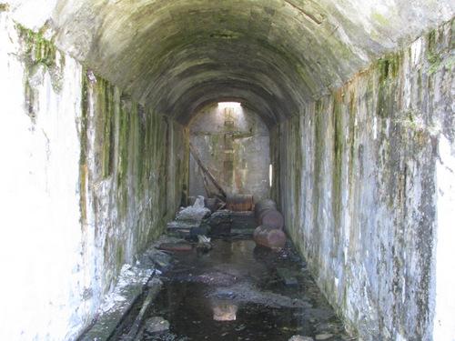
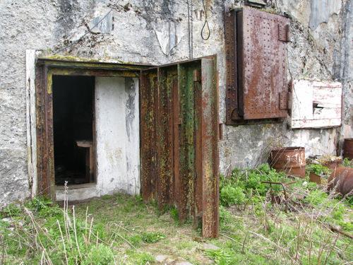
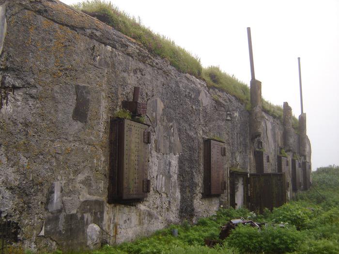
island, volcano, underground facility
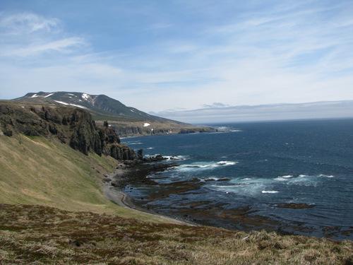
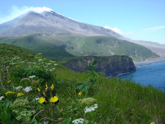

Matua (Russian: Матуа; Japanese: 松輪島, romanized: Matsuwa-tō) is an uninhabited volcanic island near the center of the Kuril Islands chain in the Sea of Okhotsk in the northwest Pacific Ocean, 16 kilometers across Golovnin Strait from Raikoke. Its name is derived from the Ainu language, from “hellmouth”.
Wikipedia article: http://en.wikipedia.org/wiki/Matua_(island)
Nearby cities:
Coordinates: 48°4'48"N 153°13'18"E
- Rasshua 36 km
- Ketoy Island 99 km
- Shiashkotan 107 km
- Simushir Island 152 km
- Chirpoy 249 km
- Brat Chirpoev 256 km
- Urup Island 355 km
- Iturup 560 km
- Shikotan Island 693 km
- Polonskogo Island 730 km
- Sarychev Peak 2.1 km
- Krusenstern Strait 45 km
- Ushishir Islands 68 km
- Rikorda Strait 84 km
- Diany Strait 114 km
- Brouton Bay 129 km
- Severgin Strait 131 km
- Prevo Peak 145 km
- Zavaritski Caldera 161 km
- Kuril-Kamchatka Trench 171 km