Cankurtaran (Istanbul Metropolitan Municipality)
| quarter (urban subdivision), third-level administrative division
Turkey /
Istanbul /
Istanbul Metropolitan Municipality
World
/ Turkey
/ Istanbul
/ Istanbul
World / Turkey / Istanbul
quarter (urban subdivision), draw only border, third-level administrative division
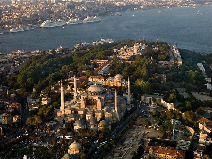
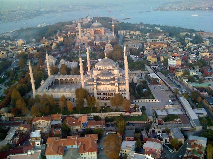
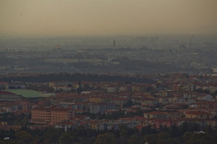
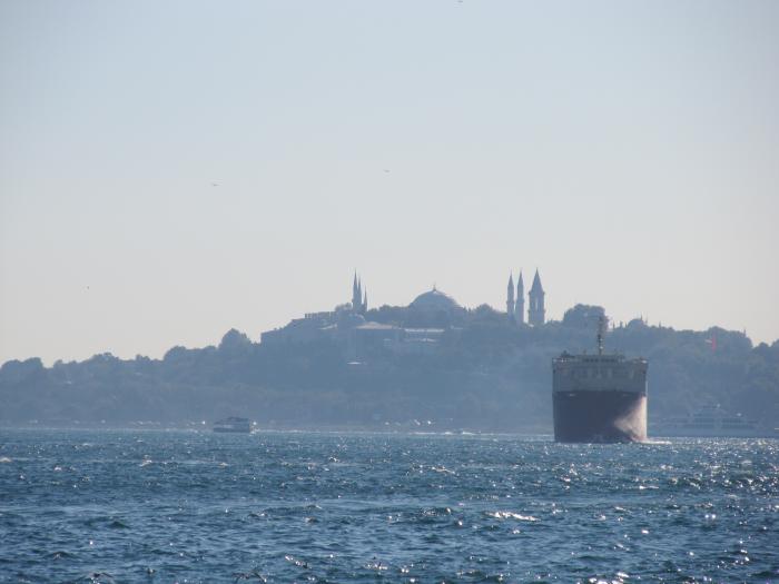
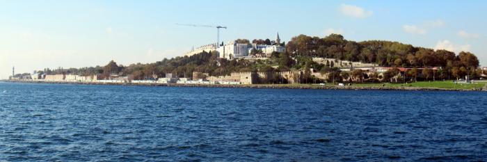
Cankurtaran Neighbourhood, Fatih District.
(Until the 22 March 2008 neighbourhood of the former district Eminönü)
(Until the 22 March 2008 neighbourhood of the former district Eminönü)
Nearby cities:
Coordinates: 41°0'37"N 28°58'57"E
- Üsküdar District 7.8 km
- Ümraniye 10 km
- Sarıgazi 18 km
- Çekmeköy (District) 19 km
- Sultangazi District 21 km
- Beykoz (District) 26 km
- Sarıyer (District) 28 km
- Eyüp (District) 37 km
- Istanbul Metropolitan Municipality 51 km
- Istanbul Province 106 km
- Courtyard 1 0.1 km
- Royal Mint of Ottoman Empire 0.2 km
- Military Area 0.2 km
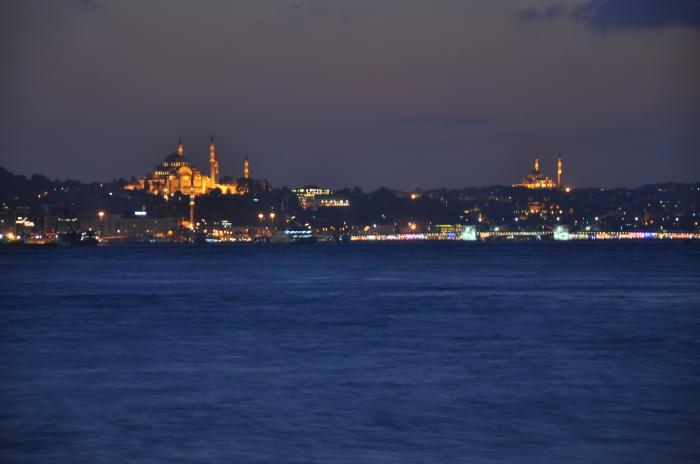
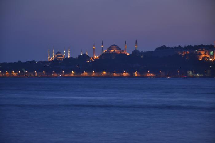
- Hagia Sophia 0.3 km
- Gulhane City Park 0.3 km
- Civilian Government of Istanbul (İstanbul Valiliği) 0.5 km
- Sirkeci 0.6 km
- Eminönü 1 km
- Bosphorus 14 km
- Sea of Marmara 67 km
Comments