Royal Oak (London)
United Kingdom /
England /
Westham /
London /
High Street
World
/ United Kingdom
/ England
/ Westham
World / United Kingdom / England
pub / public house, historical layer / disappeared object
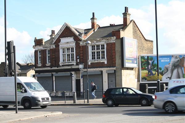
Royal Oak Pub, High Street, Stratford, London E15.
Nearby cities:
Coordinates: 51°32'6"N -0°0'18"E
- The Cow 1.1 km
- Bar Risa 2.6 km
- Goldsmiths Square 4.1 km
- St James Church, Clapton 4.3 km
- The Peacock 5.5 km
- Rosemary Branch Theatre/Pub 5.7 km
- Slug And Lettuce 5.7 km
- George Pub 5.7 km
- The Crosse Keys 6.1 km
- Pub Monument 6.3 km
- Stratford 0.5 km
- Lower Lea Valley 0.6 km
- Queen Elizabeth Olympic Park 1.3 km
- Bromley-By-Bow 1.4 km
- Old Ford 1.6 km
- Bow Common 2.2 km
- Poplar 2.7 km
- London Borough of Newham 2.8 km
- Tower Hamlets Council 3 km
- London Borough of Hackney 4.1 km
Comments