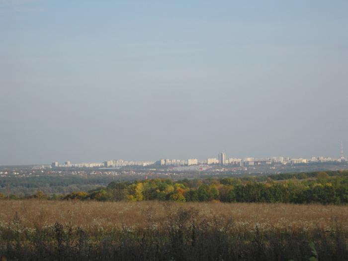
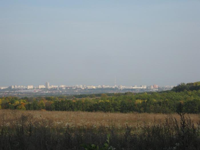
Oleksiivka (Kharkiv)
Ukraine /
Kharkivska /
Mala Danylivka /
Kharkiv
World
/ Ukraine
/ Kharkivska
/ Mala Danylivka
, 5 km from center (Мала Данилівка)
World / Ukraine / Kharkiv
invisible, residential neighbourhood, historic district
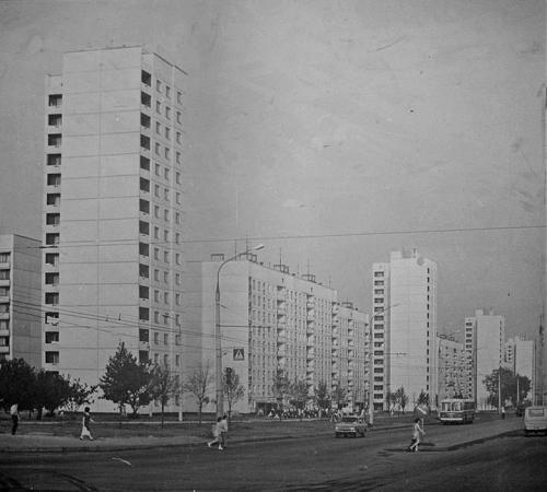
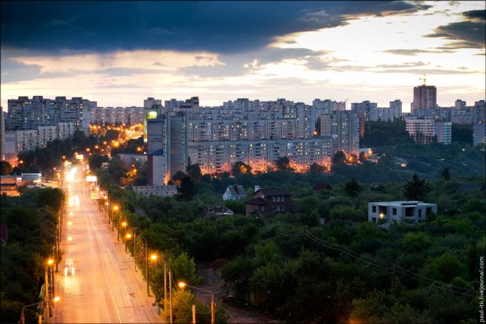
A historic district and residential neighborhood on the area of the former village, which appeared in the 18th century.
The village grew in the 20th century around the church, which was built in 1920.
In 1950s Oleksiivka became part of Kharkiv.
It contains smaller neighborhoods: Old Oleksiivka, New Oleksiivka, Zelene and Florinka.
Population: about 100 500 (2012).
The village grew in the 20th century around the church, which was built in 1920.
In 1950s Oleksiivka became part of Kharkiv.
It contains smaller neighborhoods: Old Oleksiivka, New Oleksiivka, Zelene and Florinka.
Population: about 100 500 (2012).
Nearby cities:
Coordinates: 50°3'9"N 36°11'57"E
- Saltivka 5.7 km
- Rohan Historic District 19 km
- Malyshevo 264 km
- Zavodskoy District 325 km
- Zheleznodorozhny District 328 km
- Sovetsky District 329 km
- Soviet (Sovetsky) District 382 km
- Klimovsk 601 km
- Zemlyanoy Gorod 644 km
- Zheleznodorozhny 647 km
- School Yard 0.1 km
- 336th microdistrict 0.2 km
- prospekt Peremohy, 48a 0.2 km
- prospekt Peremohy, 53b 0.7 km
- Penal colony № 25 0.8 km
- Stara ('Old') Oleksiivka 0.8 km
- Oleksiivska Arroyo 1.5 km
- Shevchenkivskyi district 2.3 km
- Sortuvalnia 2.5 km
- Malodanylivska Settlement Hromada 5.1 km
Comments